Hi everyone,
How welcome is that lovely rain!!! Hard to believe that things had become so dry when you think back to the floods earlier in the year.
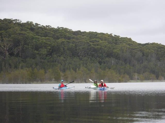
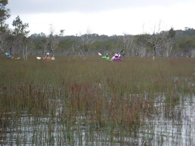
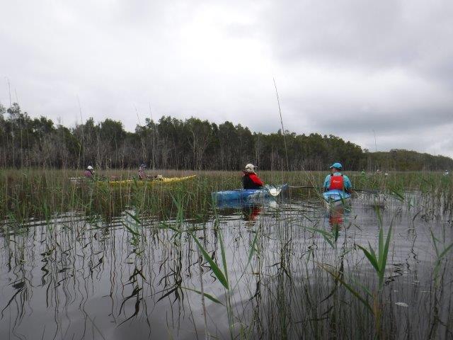
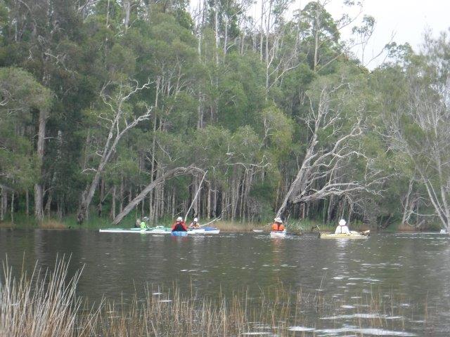
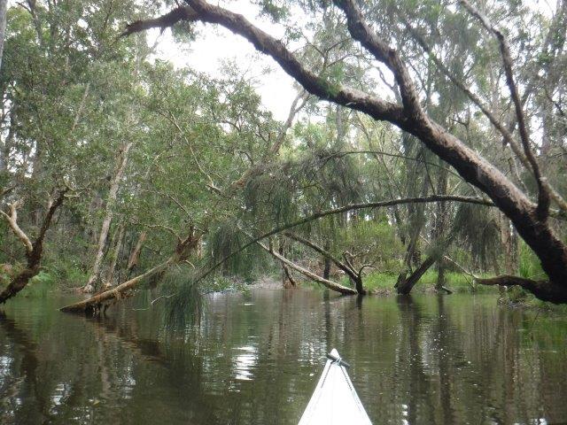
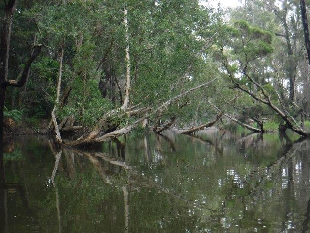
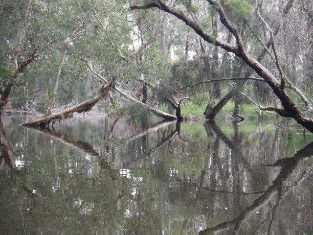
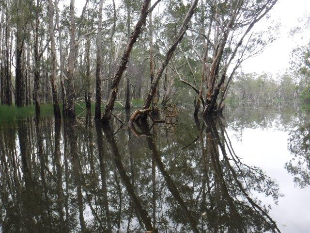
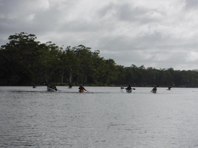
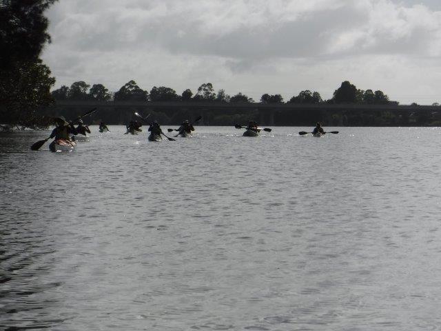
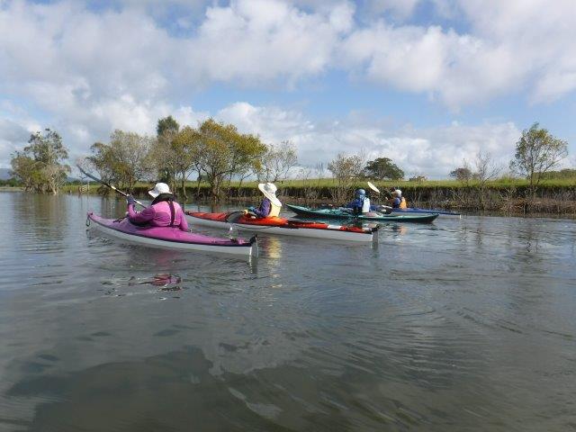
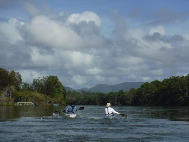
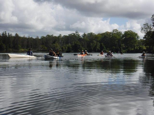
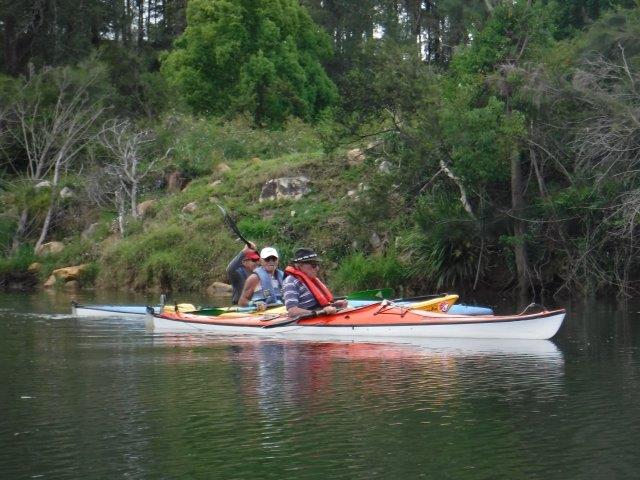
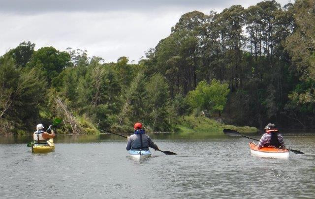
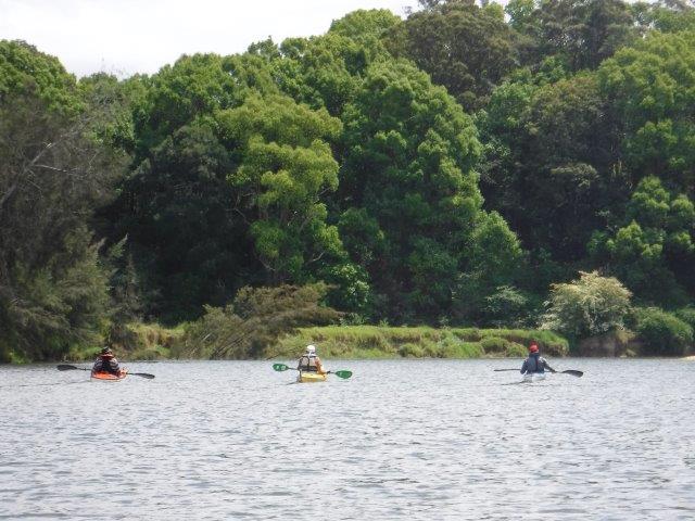
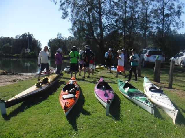
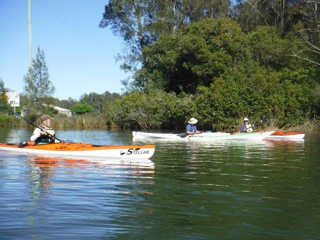
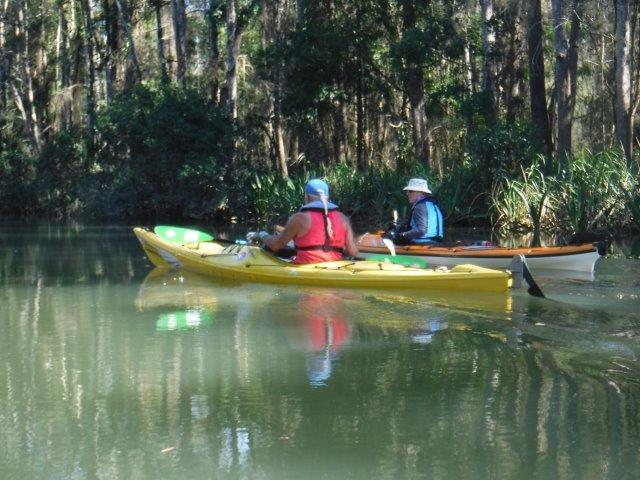
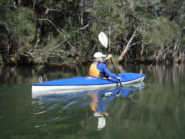
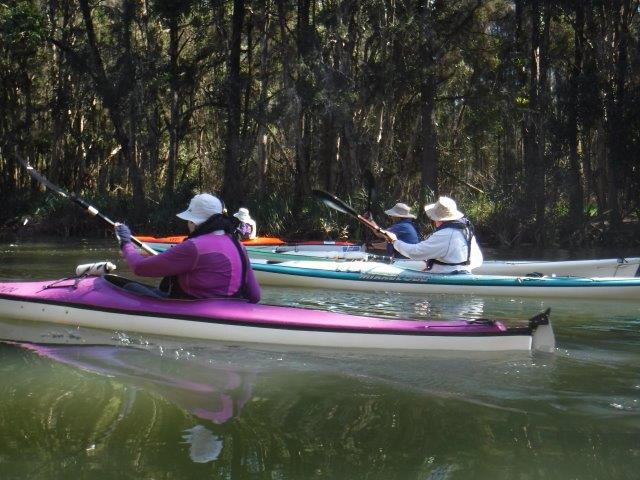
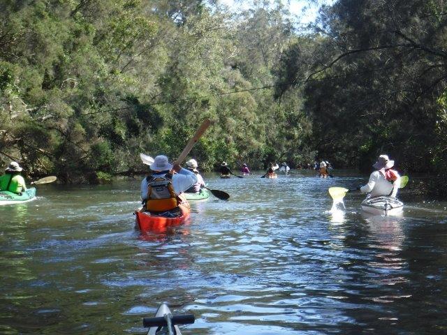
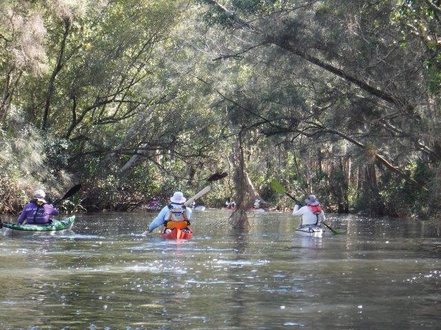
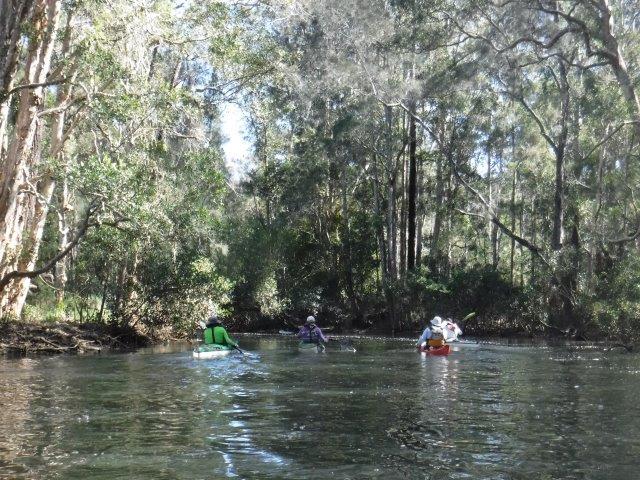
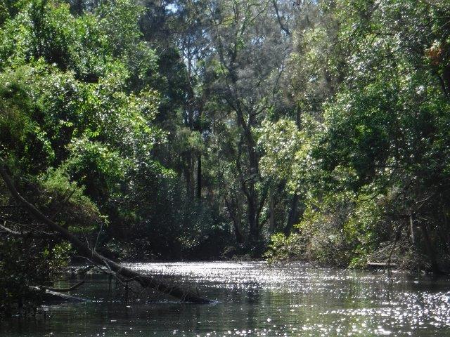
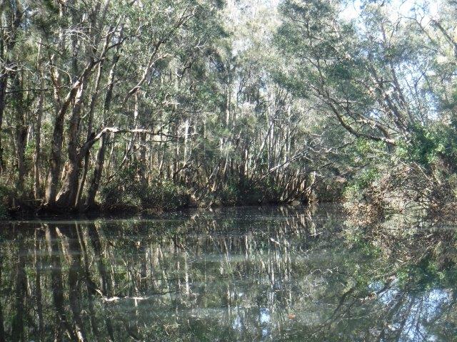
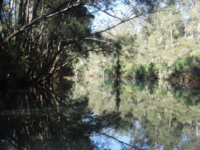
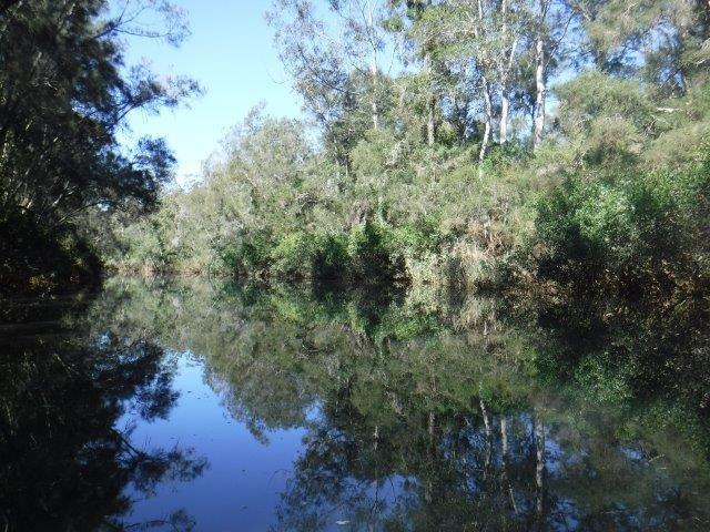
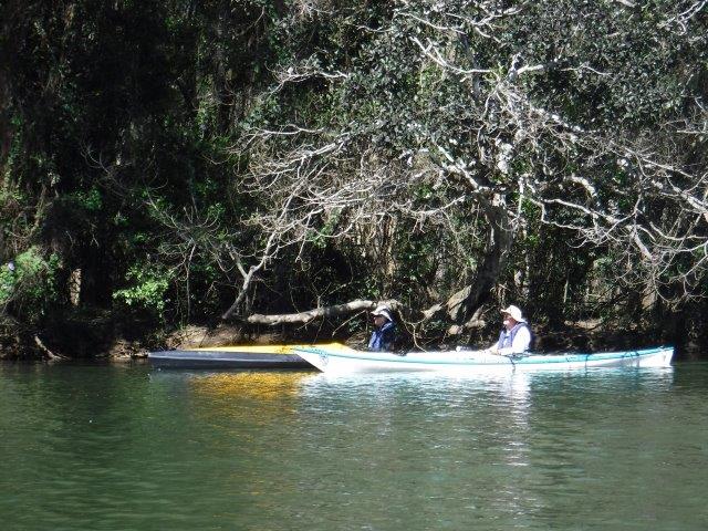
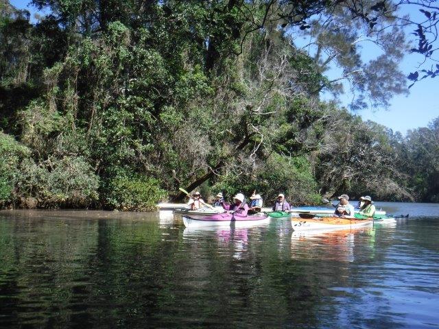
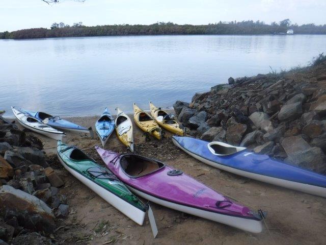
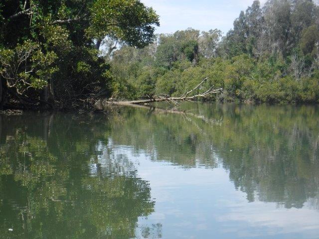
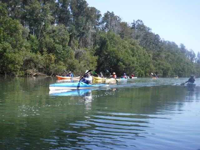
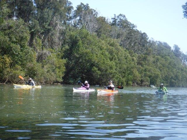
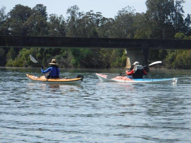
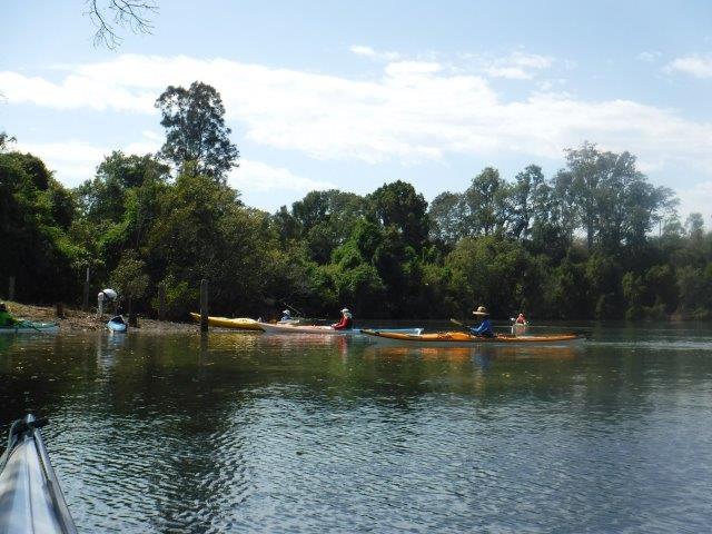
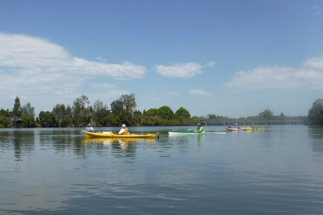
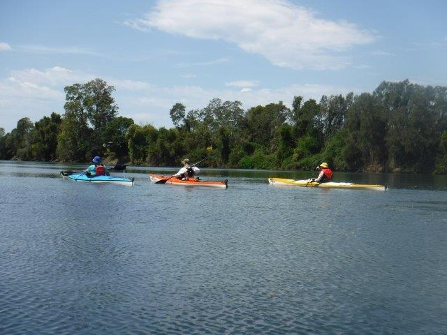
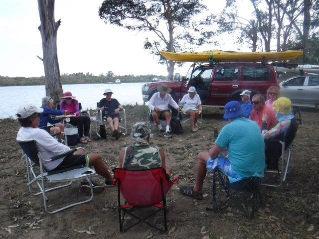
We had 15 starters for our Sunday paddle around Little Rawdon Island from Blackmans Point. The day was warming up by the time we hit the water and it was a welcome relief to feel the wind when it got up on our way back. Luckily it was not strong ( as we have experienced it up in this area of the river ) but it was cooling.
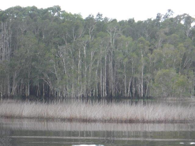
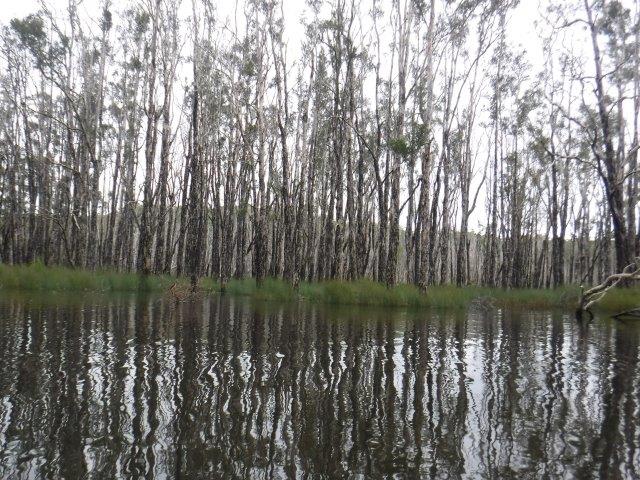
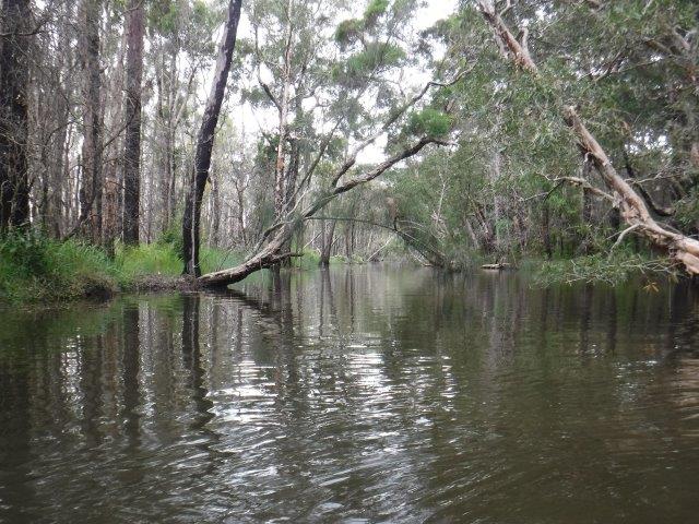
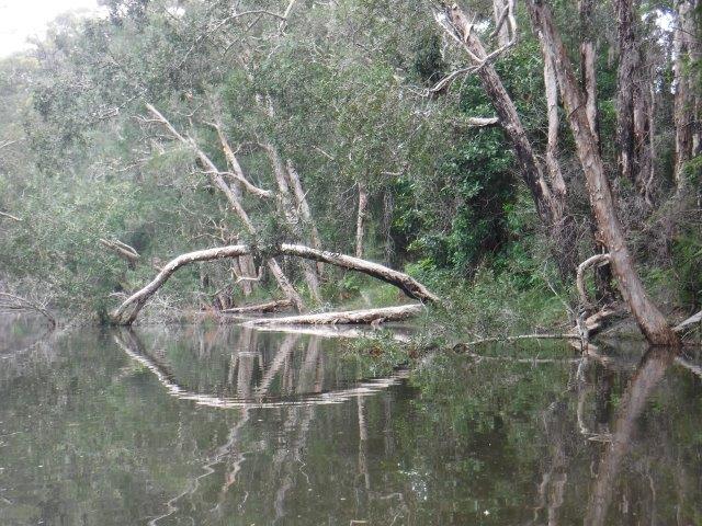
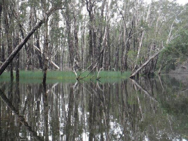
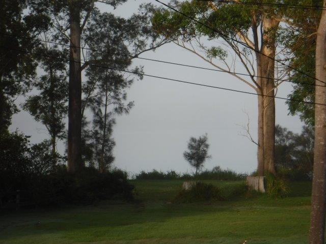
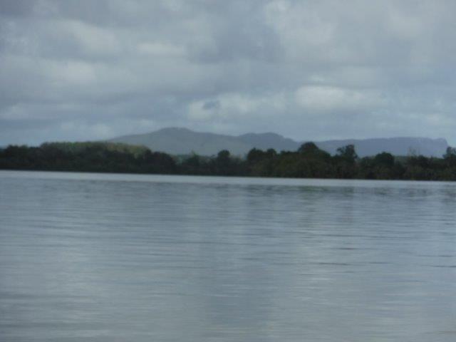
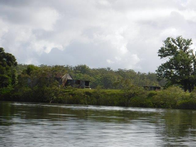
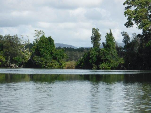
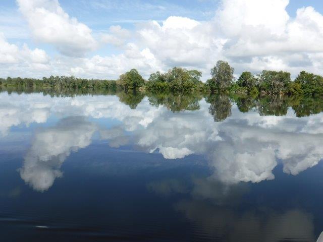
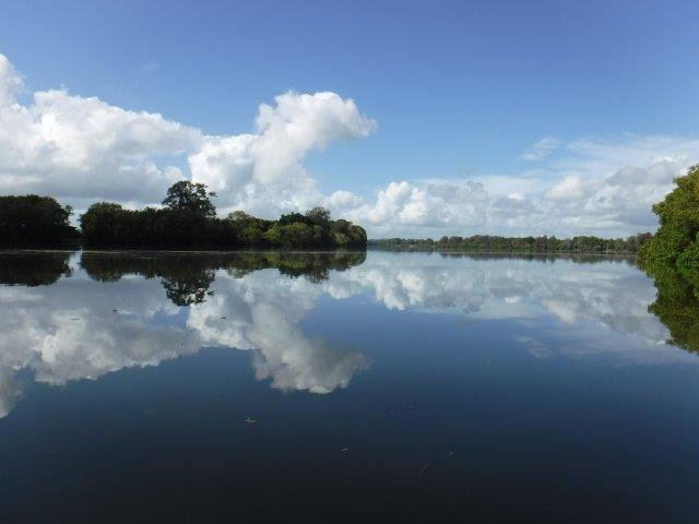
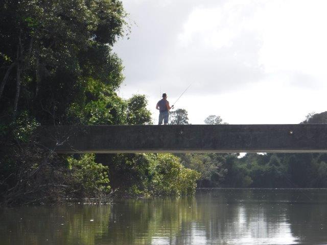
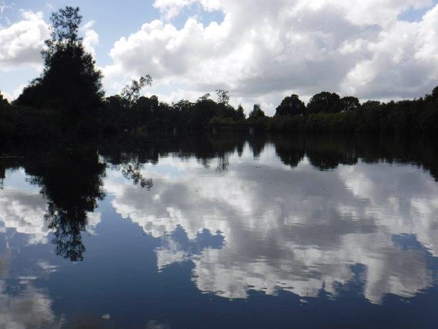
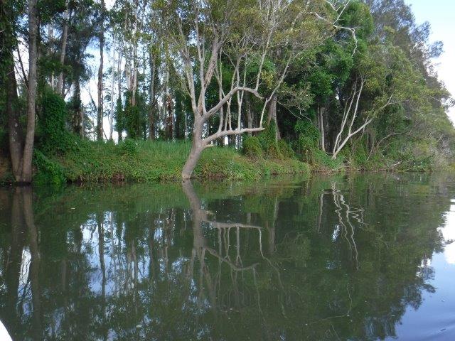
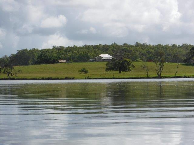
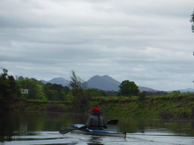
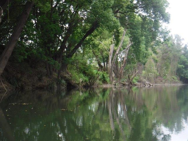
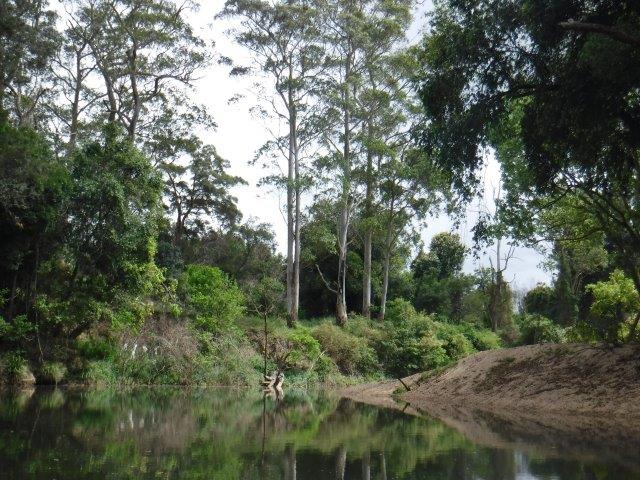
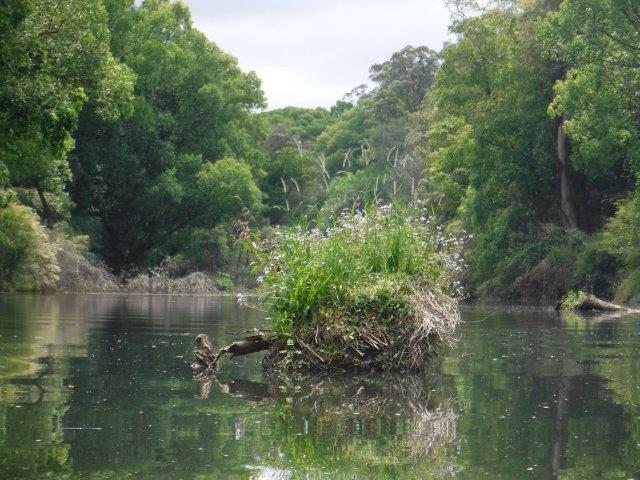
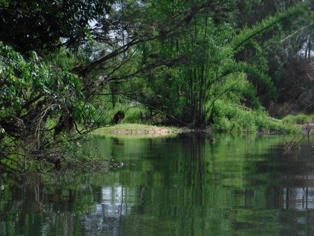
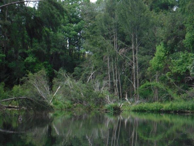
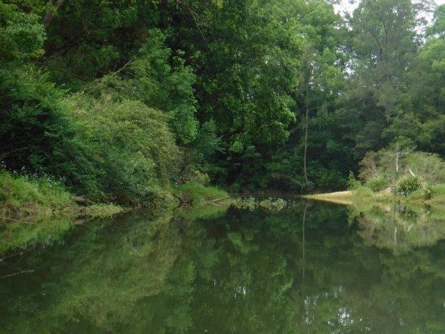
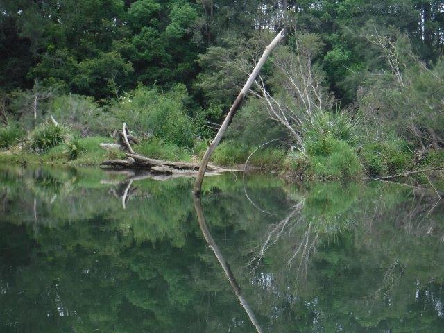
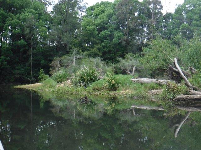
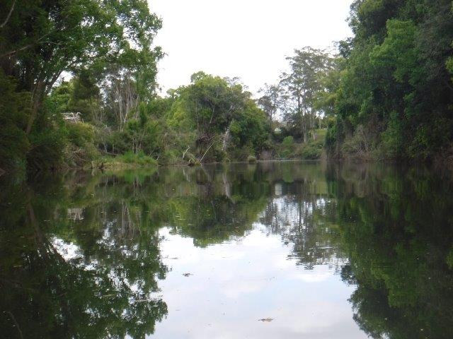
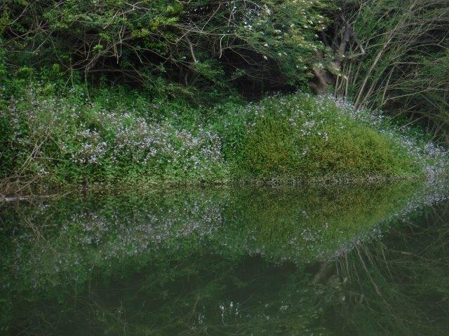
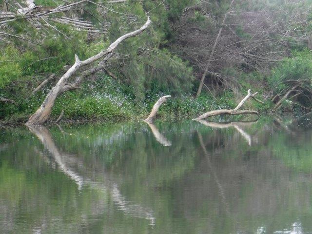
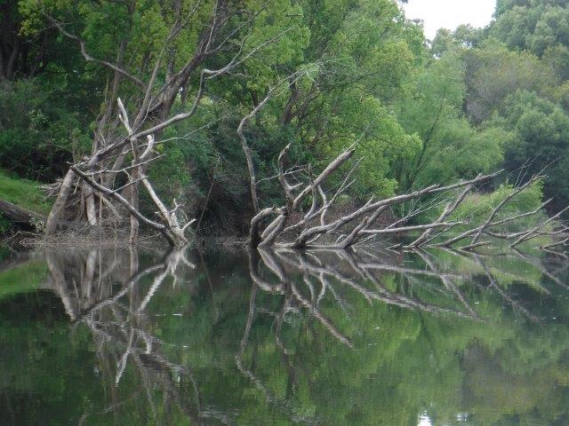
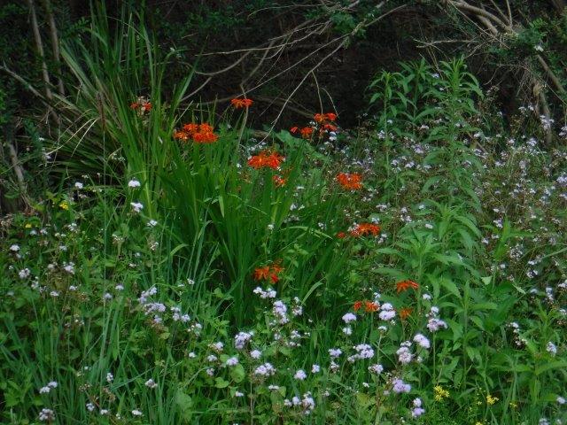
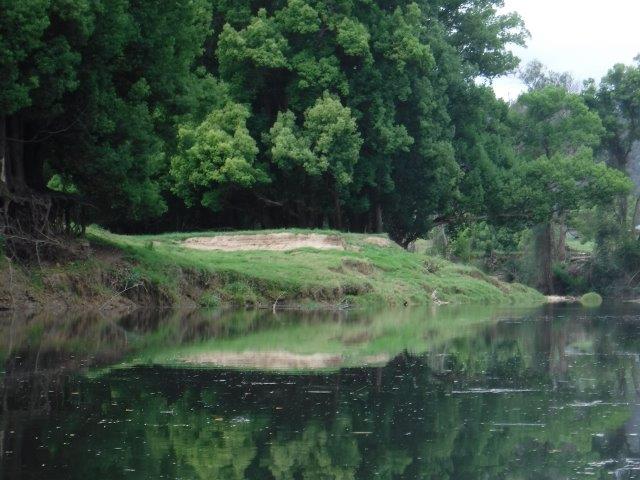
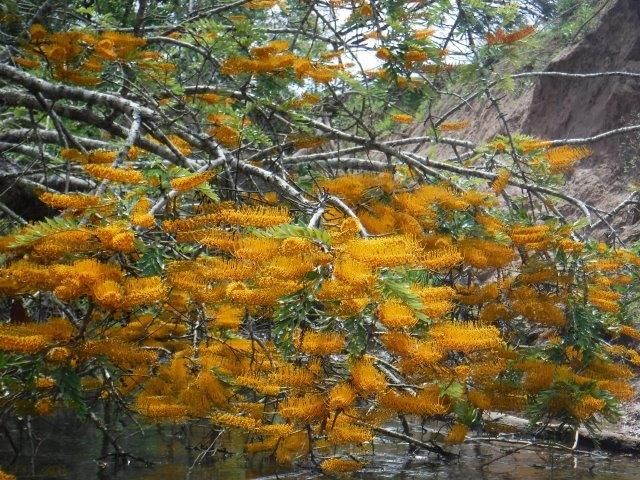
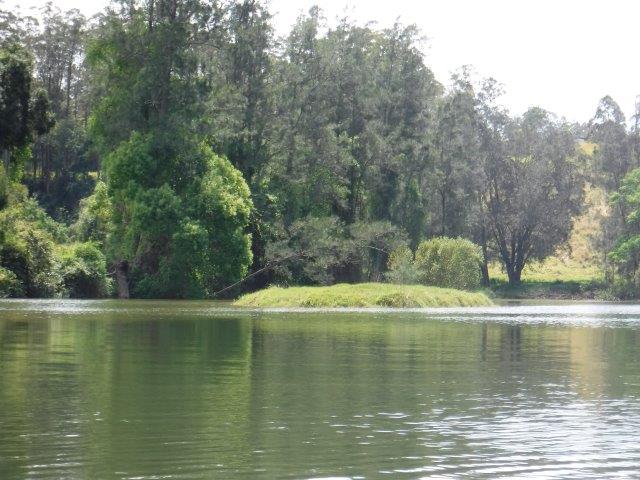
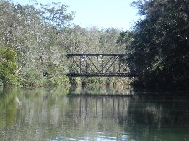
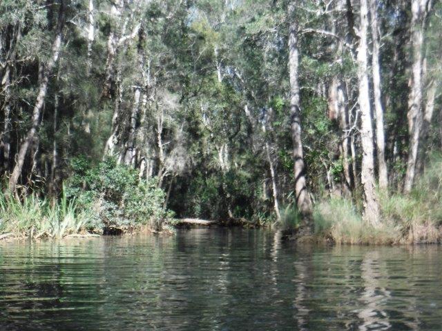
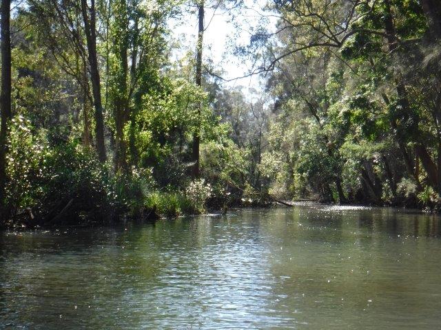
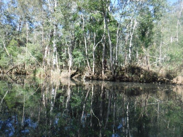
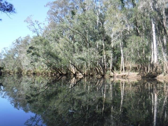
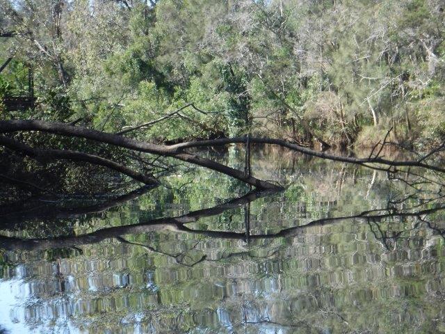
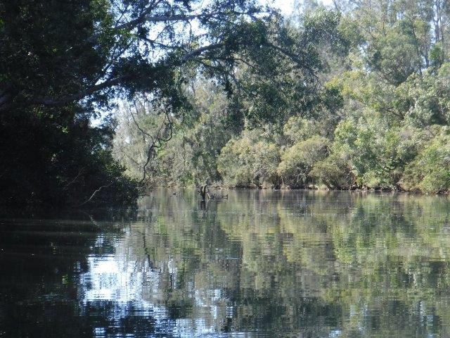
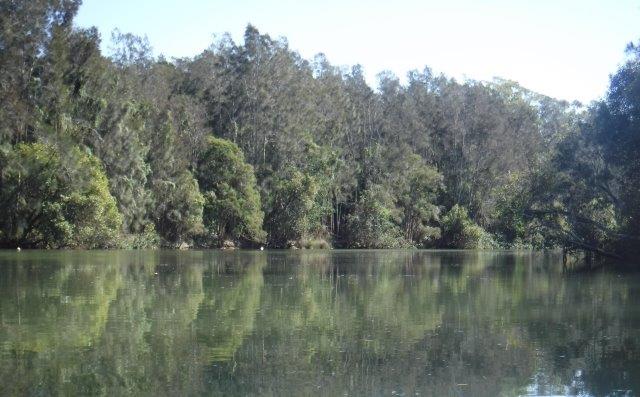
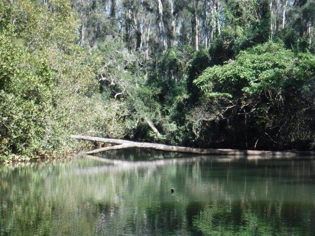
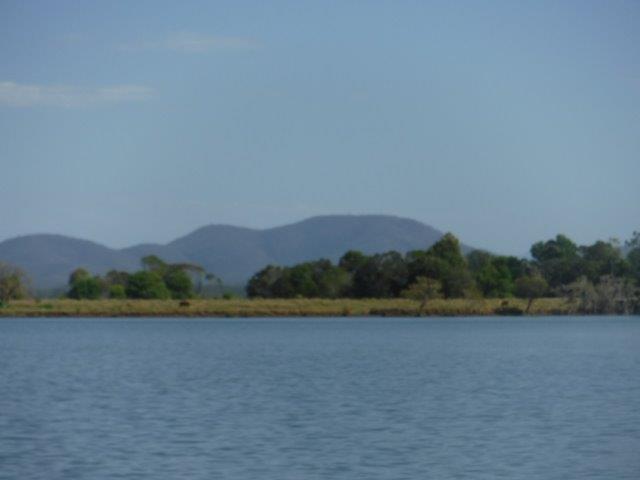
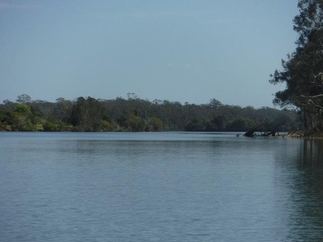
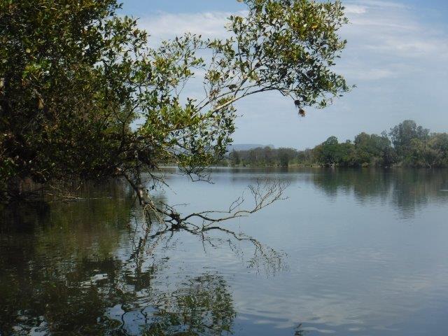
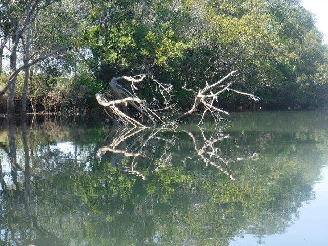
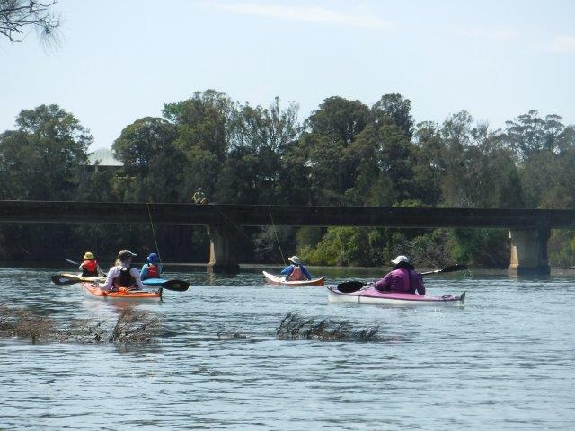
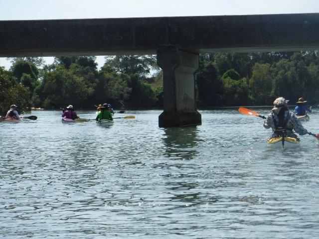
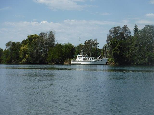
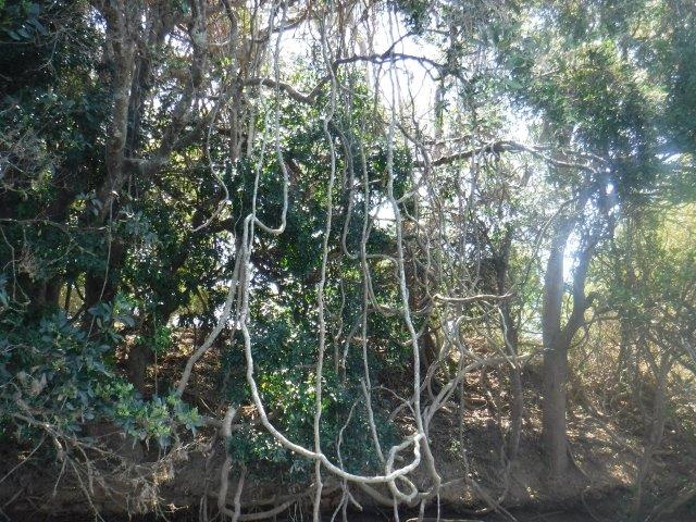
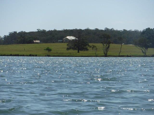
There are always some lovely vistas to enjoy on this paddle; wide expanses of river with the distant hills as a backdrop, in particular Mt. Cairncross ( see photo ), the occasional old farmhouse making for a picturesque rural scene along with glimpses of farming land behind corridors of trees. One of my favourite scenes is that of the ” lone angler” fishing from Little Rawdon Island Bridge. There always seems to be someone casting a line or two from the bridge when we do this paddle. We enjoyed a pleasant paddle, with a brief stop at the old ramp on the Galloway’s property on Little Rawdon Isl. The wind started to get up on the return paddle but was not a problem; it was actually cooling on what turned out to be a hot day. Back at McMillan Drive we enjoyed a picnic lunch topped off with a beautiful cake baked by Kate to acknowledge Leon’s recent birthday.
On May 12, 1819 while conducting a survey of the Hastings River (Dhoongang), Lieutenant King and Surveyor-General John Oxley landed on Little Rawdon Island where King recorded they had lovely views of a round topped hill (Mt. Cairncross) which was a dominant feature on the western skyline. The Aboriginal name for the mountain is said to be COOLAPATAMBA or COULAHPATAMBAH, translated as ‘a place where eagles drink’. It is often referred to as the ‘sleeping elephant’ due to its shape. (Info. From the Elephant Trail Race and Manning River Times). Where the name Cairncross came from is the subject of conjecture.
The European names of Rawdon Island ( & Little Rawdon Island) refer to Francis Rawdon Hastings, the first Marquis/Marquess of Hastings. He was an Anglo-Irish politician and military officer, Governor-General of India between 1813 and 1823 and served with the British forces during the American Revolutionary War. He took the additional surname of Hastings in 1790 in compliance with the will of his maternal uncle, Francis Hastings, the 10th Earl of Huntingdon. (A marquis is described as a member of the British peerage ranking below a duke and above an earl).
Both Rawdon & Little Rawdon Islands have always been farming communities. The first school on Rawdon Isl. was opened in 1876 and remained open for 100 years, closing in 1976. The lovely old building is now a function centre. Rawdon Island also boasted a football club. Rugby union was first played in the Hastings area from 1891 until 1920 when the code changed to Rugby League. In 1931 the team from Rawdon Island won the 2nd grade competition, beating the Port Macquarie B team. Between 1928 -32, three grades made up the Hastings District Rugby League. Teams from Hamilton, Byabarra, Long Flat, Telegraph Point and Rawdon Island competed against the stronger Wauchope, Beechwood and Port Macquarie clubs. In 1933 the league carried a motion that ended lower grade competitions leaving only 6 teams to contest the 1st grade. At this point the Rawdon Island footy team disbanded (Port Macquarie Historical Society records).
Blackmans Point (GOOLAWAHL) also has history. The European name is thought to relate to one James Blackman who travelled with John Oxley on his journey to Port Macquarie in 1818. The ferry that used to operate from here across the Hastings to the Fernbank Creek ramp was the vehicular transport point between Port Macquarie and areas to the north prior to the opening of the Denis Bridge in 1961.
On a darker, sadder note, as a part of events commemorating Port Macquarie’s bicentenary earlier this year, a short documentary entitled “Blackmans Point Massacre” premiered. This film explored, through interviews, the story passed down through generations of Aboriginal oral tradition, of a massacre said to have taken place here in 1826. A plaque acknowledging Country, erected at Blackmans Point by the Port Macquarie-Hastings Council, makes no mention of the massacre. Professor Lyndall Ryan, who created the Colonial Frontier Massacre Map Project, is working with the Birpai people to collate more ‘western’ proof of a massacre. A written account of a bloody confrontation at Blackmans Point is recorded in the journal of one Henry Lewis Wilson. The Blackmans Point massacre is not yet included in the formal map and uncertainty remains about the number of people killed. NITV’s The Point program, from which this information is sourced, also reported that the Port Macquarie-Hastings Council was consulting with and taking direction from Birpai traditional owners on how to formally acknowledge the massacre. (The Point 8 June 2021 & SBS ) Hope this information is of interest.
Cheers
Caroline