australia

Blog

Big Log paddle


No Comments

Hi everyone,


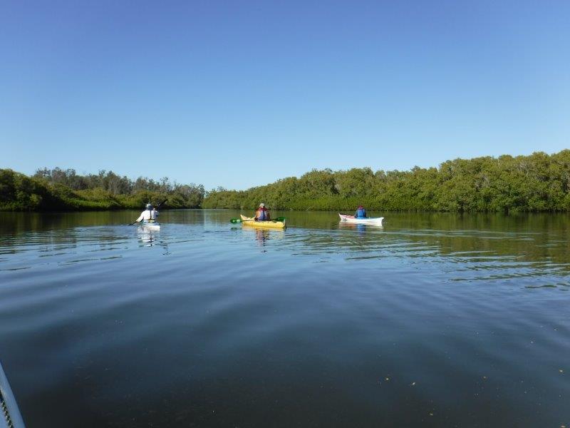
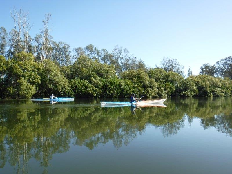
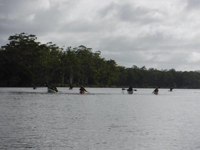
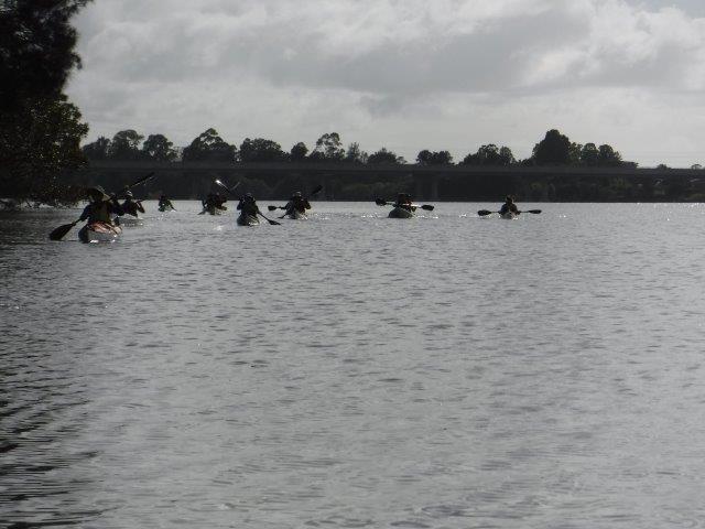
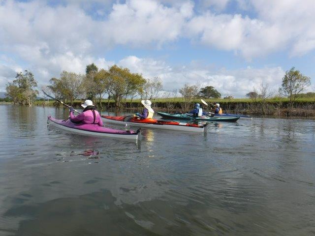
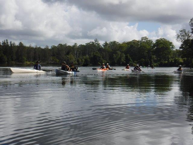
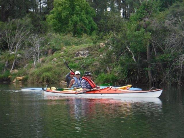
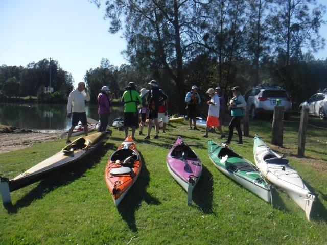
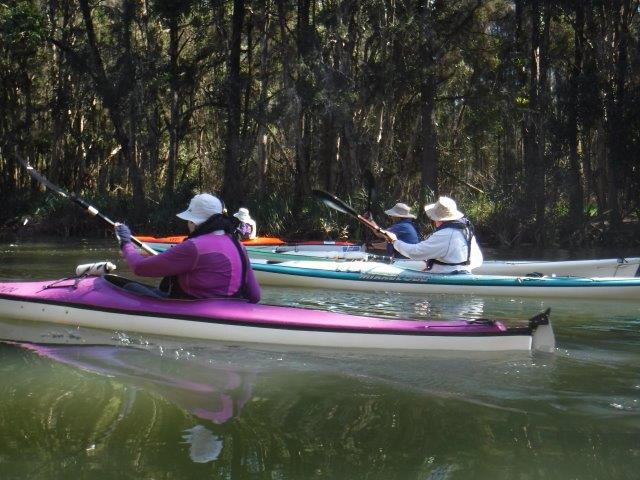
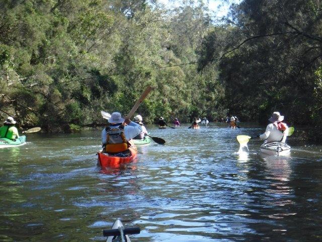
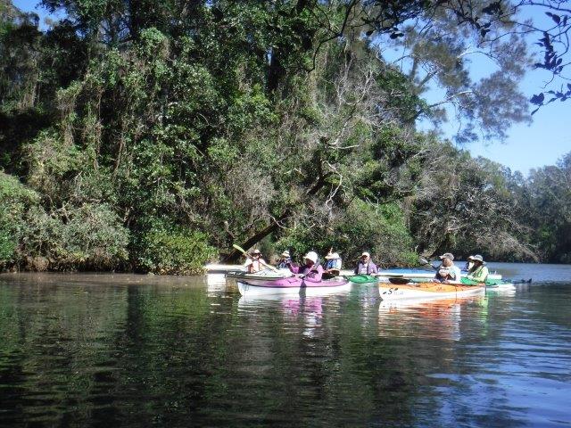
Four of us – Bill V, Colin, Bill & myself enjoyed a lovely paddle up to Big Log last Sunday and a walk through the bush to the Maria River Rd. It was beautiful on the water and we enjoyed a run in tide on the way up and caught the run out on the return trip.
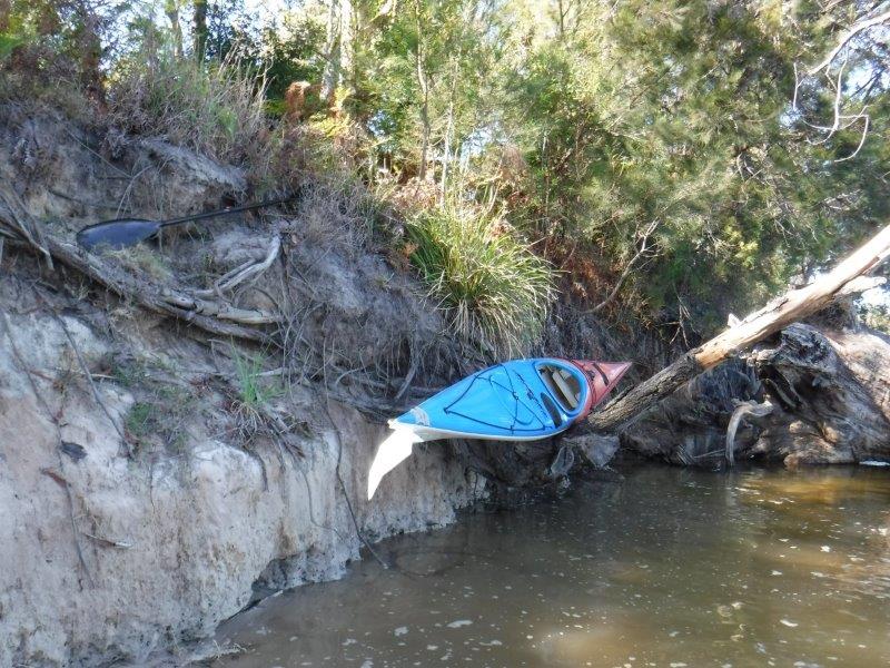
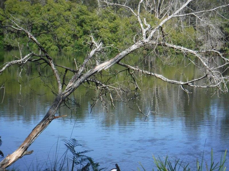
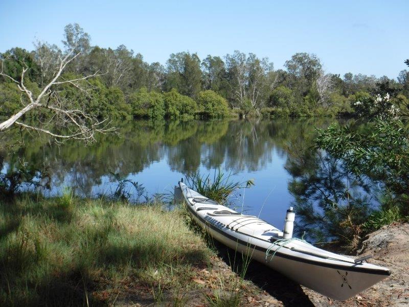
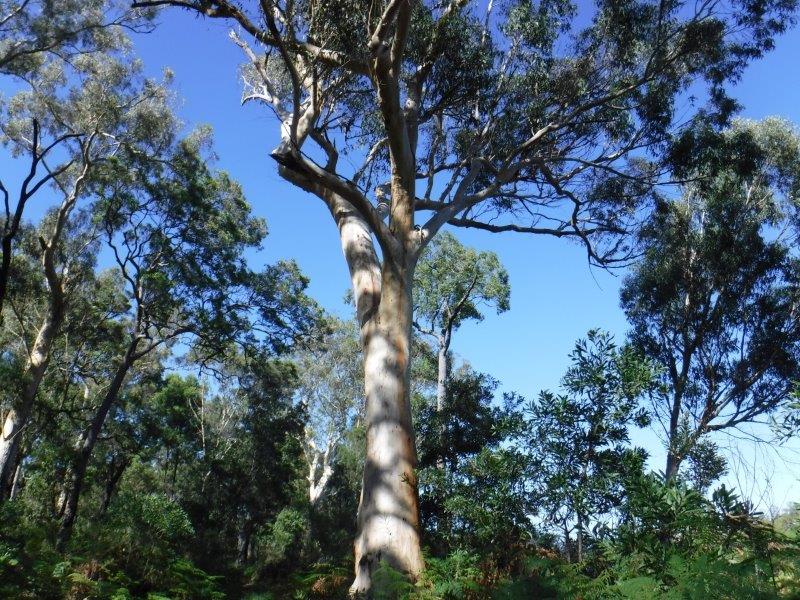
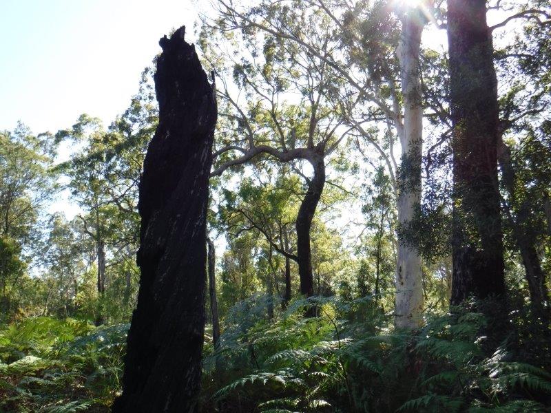
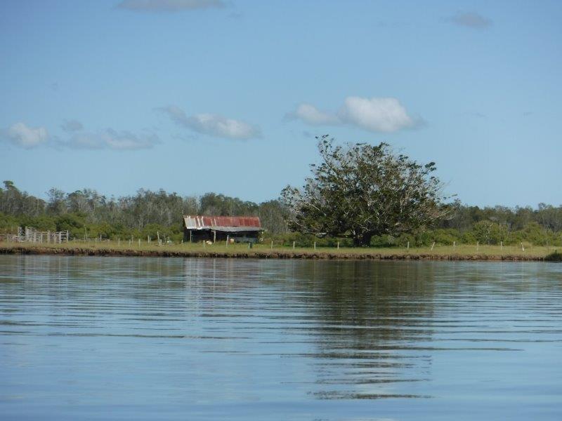
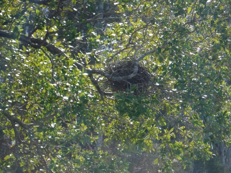
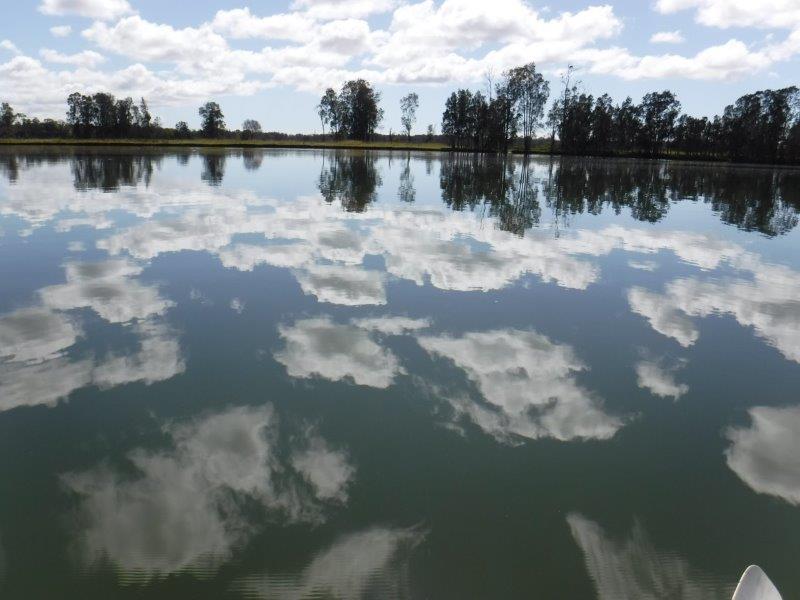
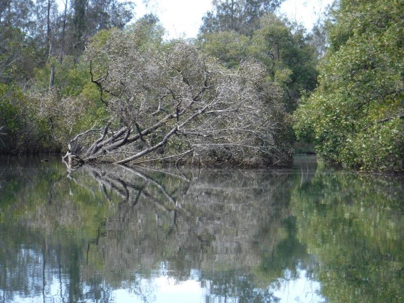
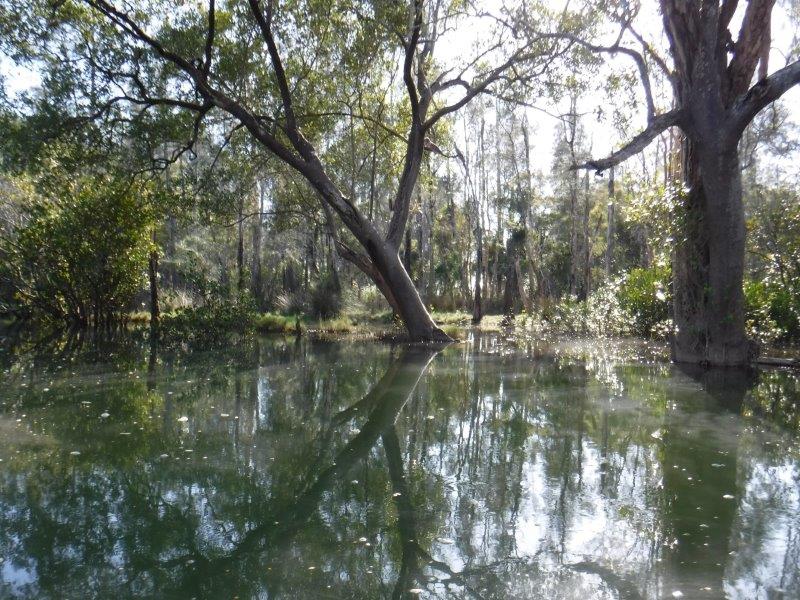
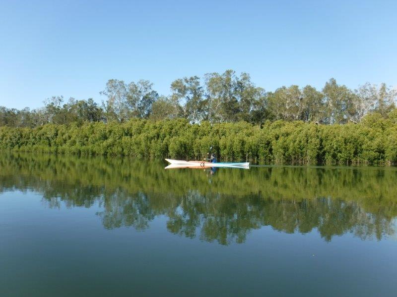
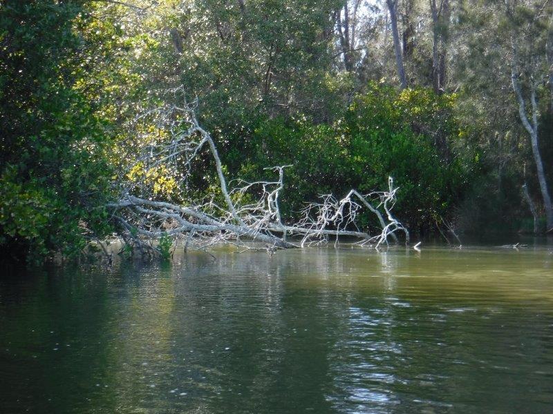
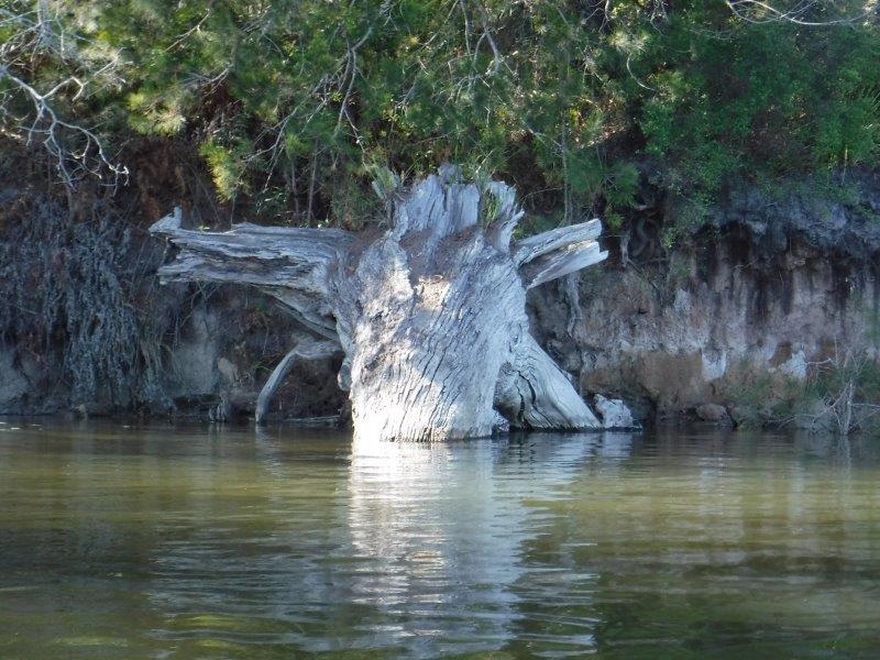
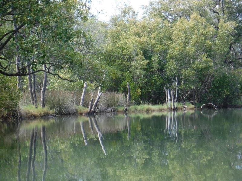
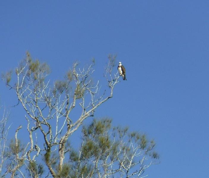
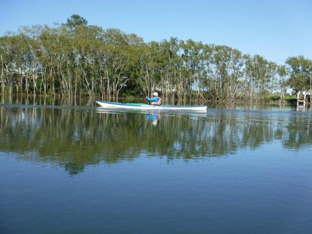
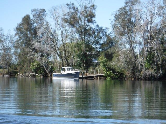
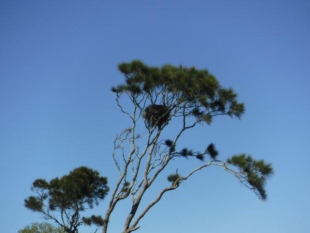
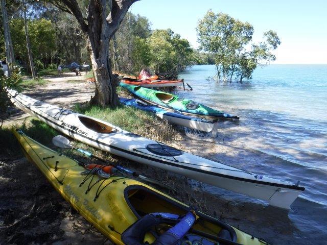
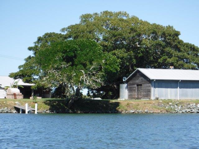
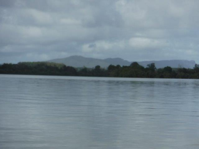
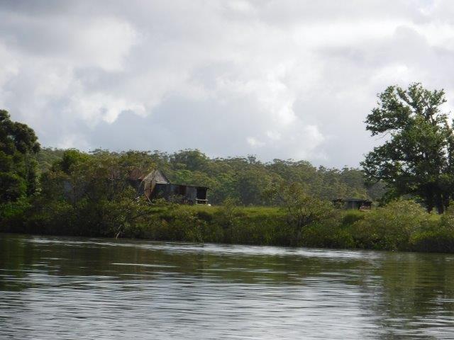
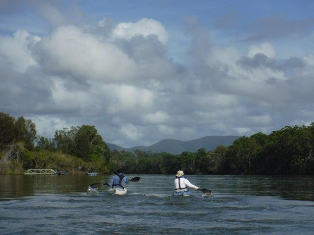
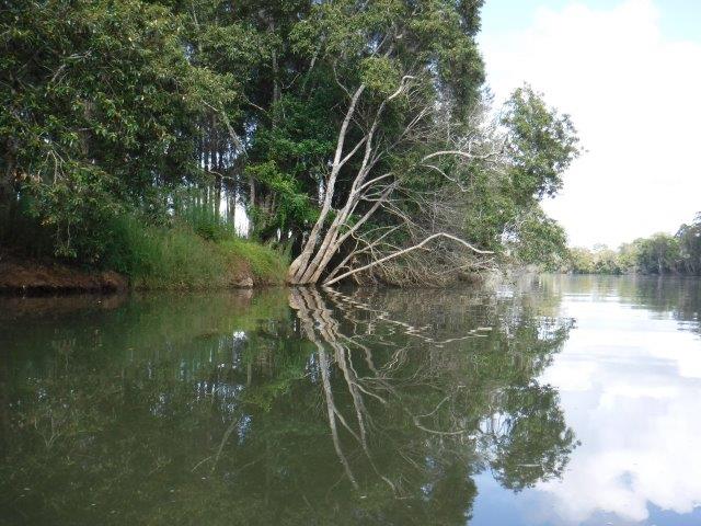
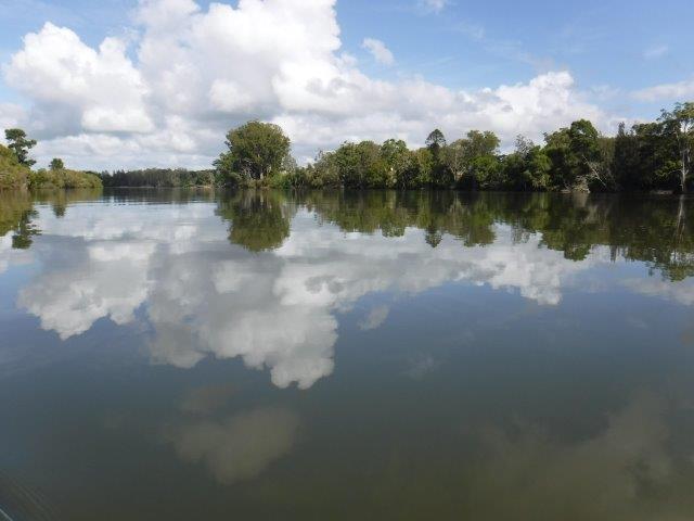
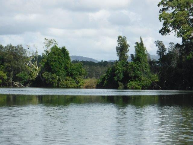
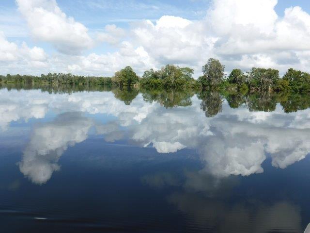
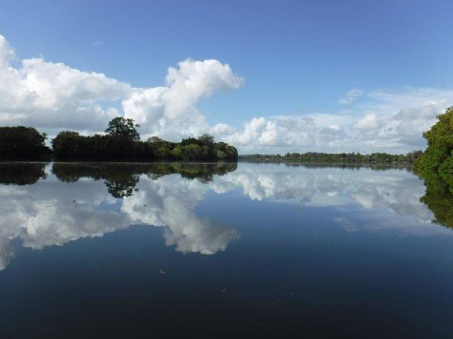
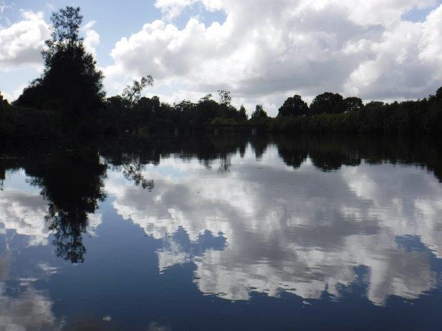
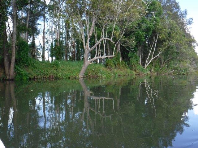
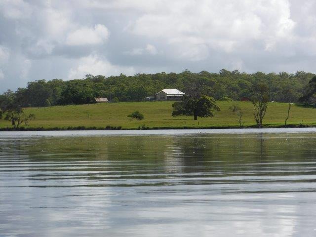
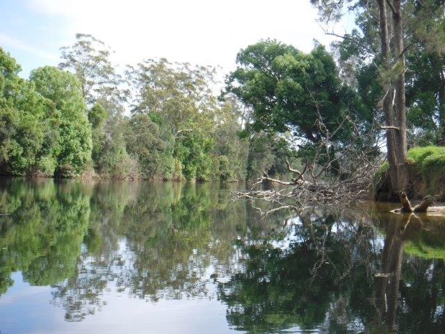
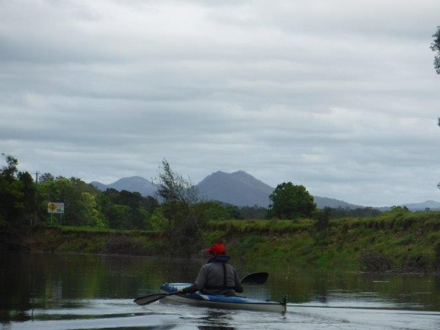
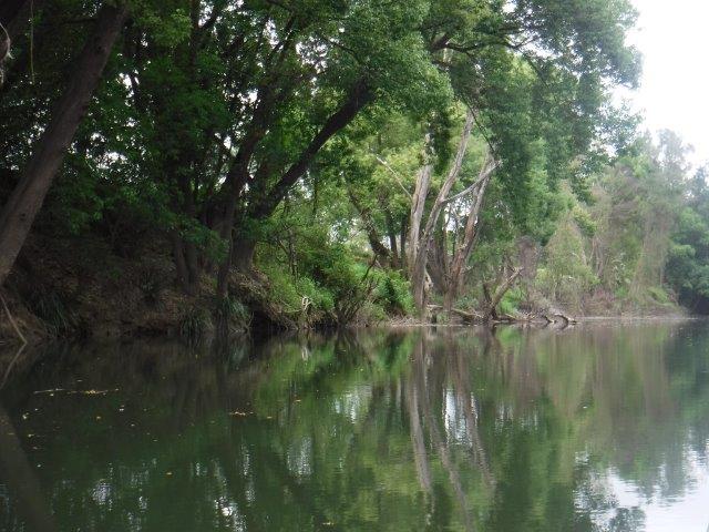
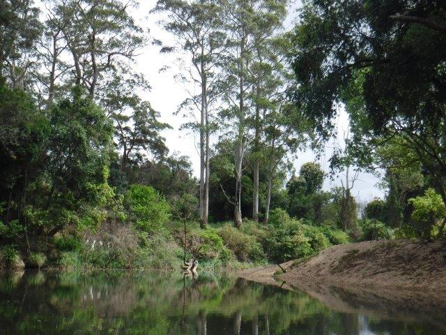
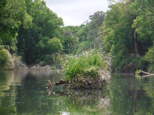
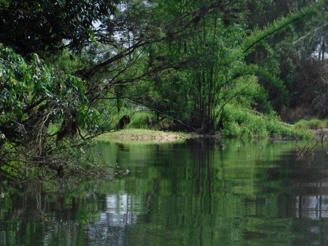
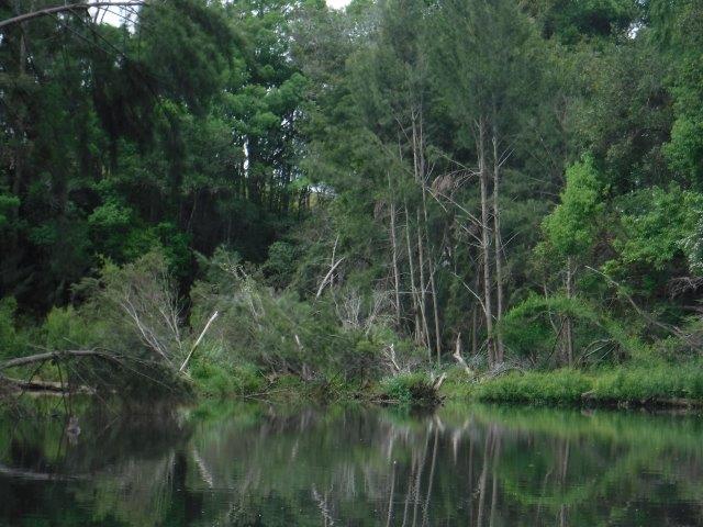
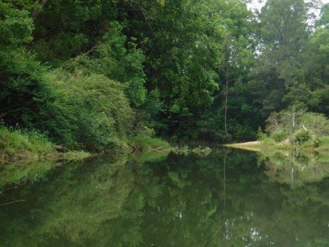
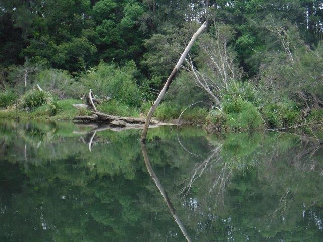
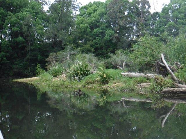
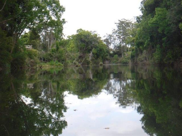
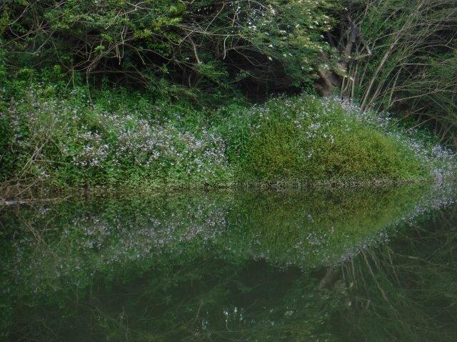
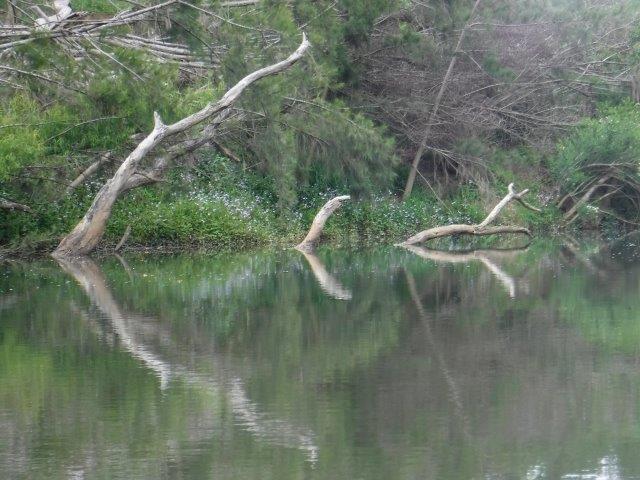
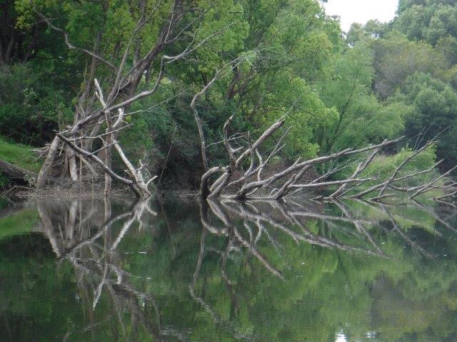
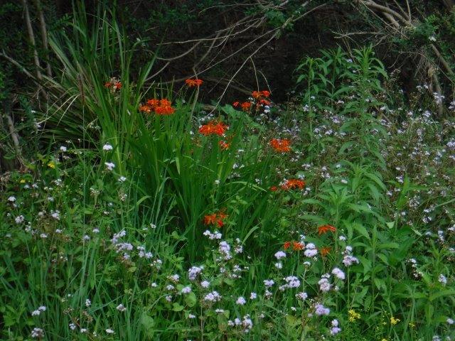
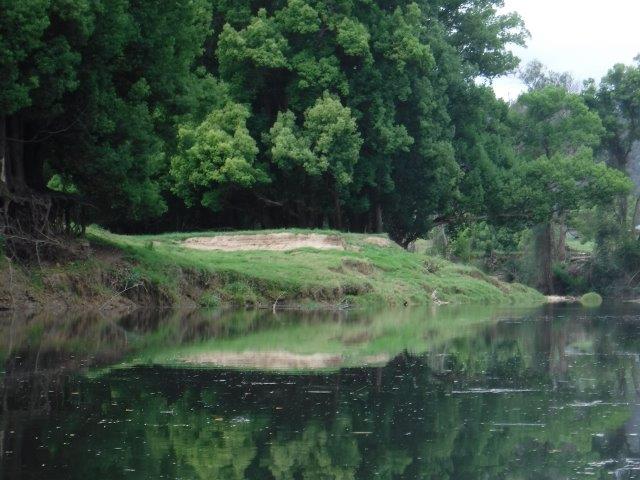
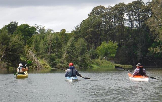
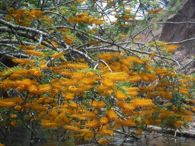
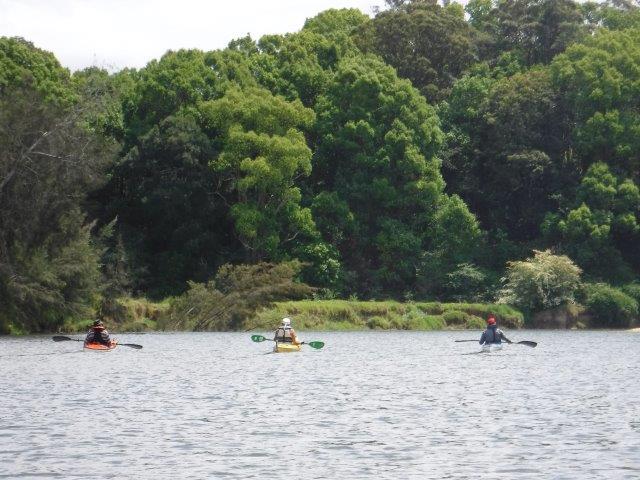
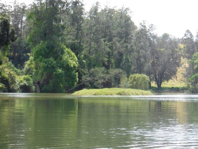
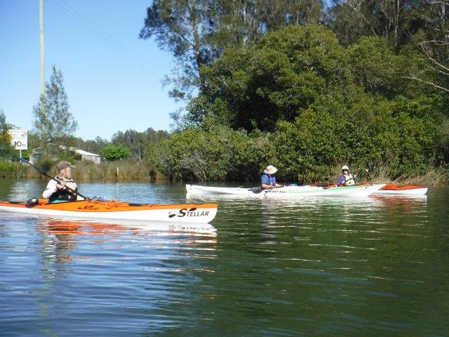
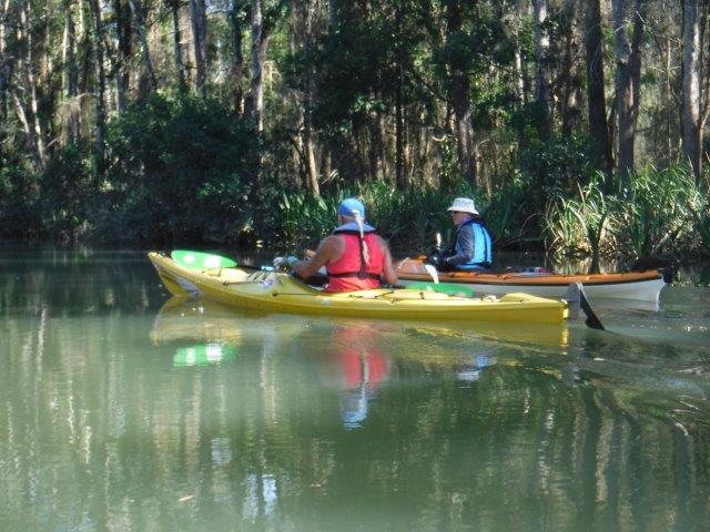
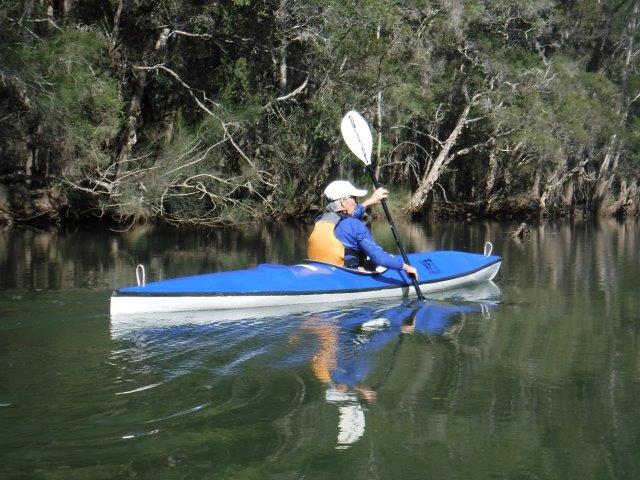
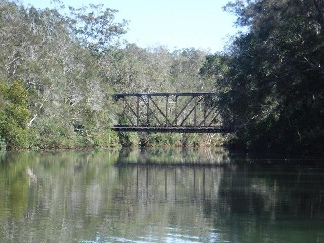
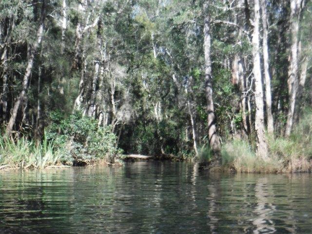
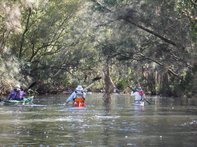
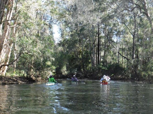
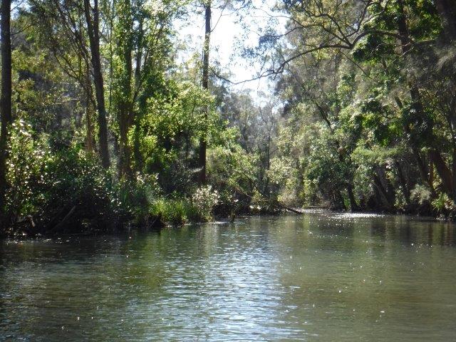
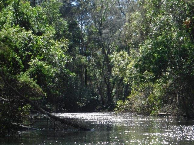
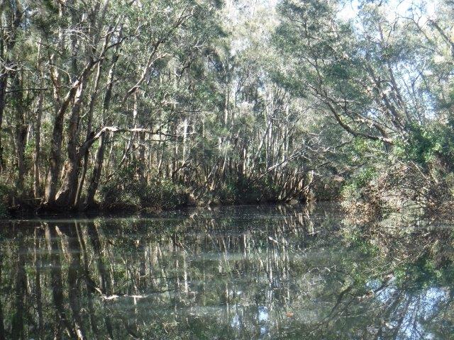
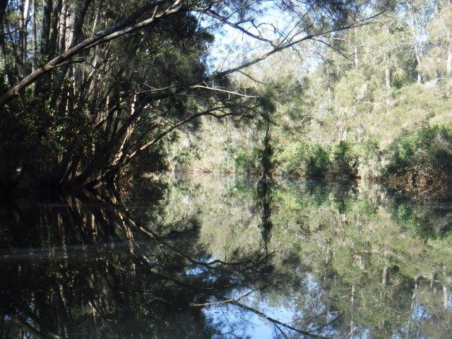
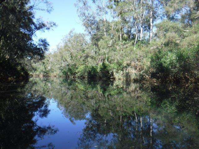
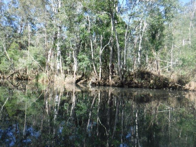
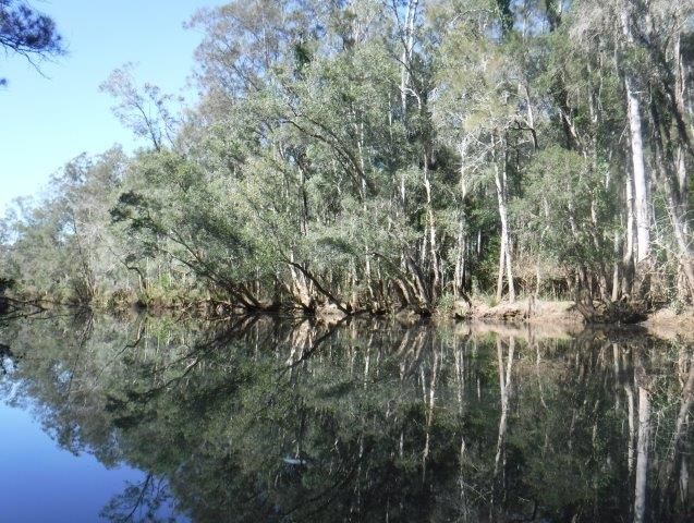
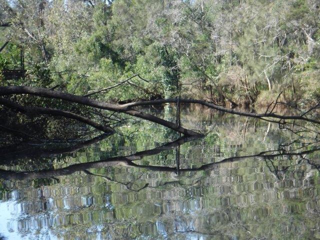
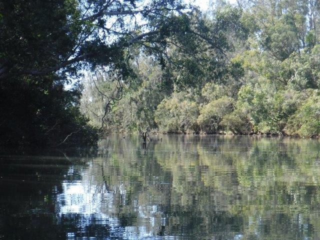
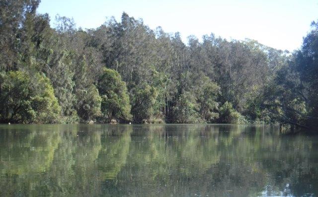
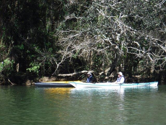
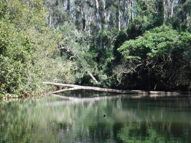
Starting from Blackmans Point we paddled up river and into one small lagoon then on to and across the small bay before entering the creek between Boomerang Island & the mainland. This is always a special part of this paddle with its mangroves ( which are flowering and shedding blossoms across the water), reflections, birdlife (kingfishers & herons) & glimpses through spindly mangrove trunks onto the island & adjacent swampy land with grasses and casuarinas. The play of light amongst the trees is always beautiful with shadows and streaks of sunlight cutting through the canopy. We had luck with bird sightings including several white bellied sea eagles, osprey, Brahminy kites, kingfishers, white faced herons & others. We also spotted an interesting, low lying nest in a mangrove tree. We exited the creek & paddled on past The Hatch & up to & into the top lagoon, a little world on its own. After pausing for a moment to reflect on the serenity of this area, we paddled on to Big Log. Someone has put a letterbox at the base of the steep bank where we get out (a bit like the one in the water at Lake Cathie). As the tide was high, tethering the kayaks was tricky, but Colin found a handy overhanging tree and exposed roots to balance his kayak on ( see pic). We enjoyed a stroll through the bush to Maria River Rd. The trees here on the eastern side of the river are tall & straight; eucalypt, bloodwoods & banksias etc unlike the dense thickets of mangroves which line the eastern side. After a snack we headed back downriver, picking up the run out on our way & enjoying a welcome cool breeze. There were some stunning cloud reflections on the river at the top of The Hatch & it was just special being out paddling on a wide river under such lovely conditions.


The Maria is a tributary of the Hastings (Dhoongang) River. It enters the Hastings between Blackmans Point and Riverside, bringing with it the waters of the Wilson River & various creeks (including Pipers & Connection Creeks) along its journey. It rises near Kundabung in the Kumbatine NP, joining the Dhoongang some 54 kms downstream. 


Cheers
Caroline 


Blog

Croki via Scotts Creek to Farquhar Inlet


No Comments

Hi everyone,


Seven of us – Bill V, Julie, Peter, Barry & Maree & Bill & myself enjoyed a pleasant 17 kms paddle last Sunday from Croki down Scotts Creek to the crystal blue waters of Farquhar Inlet, the double delta of the Manning River. We had not done this paddle for years & it was good to finally reacquaint ourselves with it.


The Manning ( or BOOLUMBAHTEE,’ place where brolgas play’) rises in Mt. Barrington in the Great Dividing Range & is 261 kms in length. It becomes a double delta, the only one in the Southern Hemisphere in which there are two permanent entrances to the river: one at Old Bar & the other at Harrington. It is famously one of only two rivers in the world to have permanent multiple entrances with the other being the Nile in Egypt (Wikipedia). 


Launching from the sleepy hamlet of Croki ( meaning ‘toad fish’ from groki; mid north coast library service) on Jones Island with its fabulous stand of very old, spreading Moreton Bay fig trees, we paddled across the Manning & into Scotts Creek, paddling past the old butter factory on Mitchells Island. Our paddle took as past oyster leases, remnants of timber wharves, old dairy sheds hidden behind trees, the original ferry ramp where a punt linked Mitchells & Oxley Islands, under the bridge that now connects the two islands, the little white Anglican church now camouflaged by trees, old farmhouses, grazing land  & a beautiful osprey nest just before we rounded the bend where we were met by the crystal clear waters of Farquhar Inlet, the beach & lagoon area. After stopping for a rest & snack at the Reserve where people were camping, fishing, kayaking & paddle boarding, we paddled back to Croki & enjoyed lunch in the shade of the big fig trees on the waterfront behind the remnants of the historic Croki wharf . This is such a restful, secluded spot for a picnic, particularly mid week.


Prior to 1818, Aboriginal people had lived in this area for thousands of years. There were three Aboriginal tribes in situ when European settlers arrived. Sadly, however, by 1900 some 18 acres of land at Purfleet was set aside for an Aboriginal Reserve ( a joint government/missionary reserve) just outside Taree. Originally known as the Sunshine Station, Aboriginal people from the area were relocated here & not allowed to leave to go to town without the permission of the manager (https://midcoaststories.com2020/03the-establishment-purfleet-mission/). On 24 October 1818 John Oxley crossed over & named Farquhar Inlet, probably after the prominent Scottish physician ( & politician) of the same name. Scotts Creek was named after George Scott, a local timber getter & boat builder who owned land near the butter factory. In the early 1850’s, settlement on the islands of the Manning (Jones, Oxley & Mitchells in particular) began in earnest. Dairying was & still is the primary activity on the islands which were connected by a series of punts before the construction of the present-day road bridges. There were accidents & deaths over the years in connection with these punts, most notably in 1928,1956 & 1961. Boats plied the Manning & Scotts & Ghinni Ghinni (mud crab) creeks collecting milk & timber. Croki, along with Coopernook, Cundletown, Tinonee & Wingham were very important centres & the butter factory on Mitchells Island was opened by the Lower Manning Co-operative Dairy Company in February 1893.


Croki was settled in the mid 1850’s. A loading point was established at the village & sailing ships picked up corn grown on Jones Island. Many of the older men in the Manning Valley started their working lives on cream boats, & as settlement grew there were over 60 active dairy farms in the area. Historical accounts reveal this to be hard work. The 8-gallon cans had an all-up weight of 118 lbs & in those days the boat’s skipper & his assistant could load & unload 150 cans on a day’s run. They would lift at least 15 ton over a day. At most stopping places the heavy cans were transported from the milking sheds to a jetty on small trolleys called ‘trams’ which ran on wooden rails. They carried four cans & were pushed along by hand. The pick-up run was Mitchells, Mambo ( on the road into Harrington) & Oxley Islands & from there the boats travelled along Scotts & Ghinni Ghinni Creeks  & the Lansdowne River towards Taree. Steam & diesel boats were also used regularly to bring people from as far upriver as Wingham to attend regatta & picnic days, including the popular Boxing Day picnic. The Manning Valley itself has an interesting history & I have included in the photos a collage of old photos on a wall in Croki.


Thanks to our fellow paddlers for your company & we hope you enjoyed the outing.


Cheers
Caroline & Bill       


Blog

Little Rawdon Island


No Comments

Hi everyone,
Attached are some photos from Leon’s paddle around Little Rawdon Island on January 30.
We had perfect conditions after what was a foggy outlook up the Hastings from our place at Riverside; a real pea soup feel to it!!
The ramp at McMillan Drive is so much easier to navigate now & we ( 15 of us ) set off heading up river with some lovely views across the wide expanse of water to the distant hills. The highlight of the day for me from the photographic point of view were some of the cloud reflections further up closer to Little Rawdon Island. 
Along the way there were some pleasant rural scenes with a farmhouse on a gentle slope overlooking the river, a rustic lean to and a more ‘shabby chic’ riverside shack, all with views just perfect for quiet contemplation. One thing I enjoy about paddling up this section of the river is the comparative lack of motorised vessels.
A few elected to have a quick leg stretch at the old ramp on Galloway’s property on Little Rawdon Island before heading back to Blackmans Point.
It was a lovely paddle; thanks Leon for leading.
Cheers
Caroline

Blog

Devils Elbow at Congarinni towards Bowraville


No Comments

Hi everyone,


Four of us ( the three Bill’s & myself) enjoyed an absolutely beautiful paddle on Wednesday from Devil’s Elbow at Congarinni towards Bowraville.


Despite what the information plaque states, the paddle was 12.14 kms return & we could not get all the way up to Bowraville due to a fallen tree.


We had not done this paddle for years and had forgotten just how beautiful it is along this section of the Nambucca River. Everything was so green, there were flowers everywhere and it had to be azure kingfisher ‘central station’. It is such a special paddle with so much variation along the way. The big trees are camphor laurels with a variety of others thrown in. There were cattle mooching around under the expansive boughs of the trees, plenty of ‘white sandy beaches’ along the way and constant birdsong. The weather was perfect and the rain did not arrive until we were safely back at Macksville enjoying lunch at Café Cha Cha where we could actually sit down inside at a table (some cafes are still doing take away only).
Enjoy the photos.


Cheers
Caroline


Blog

Cooperabung Creek


No Comments

Hi everyone,


Well last Sunday’s paddle saw us thwarted with access to the anabranches, but we still enjoyed a lovely paddle, in particular Cooperabung Creek  which was just beautiful.


We paddled from Hacks Ferry straight up to where the Maria joins the Wilson River & veered right to follow the Maria. The first anabranch we usually take closest to Hacks (Torrens anabranch) had a blockage and also the Maria anabranch. Luckily Cooperabung Creek did not disappoint & we paddled on up the Maria and turned into where the two anabranches meet. A few decided to tackle the Torrens anabranch; they got through but it was difficult & not for everyone ( or their kayaks!!). Bill W had advised that the Maria anabranch had a blockage right up this end. I checked it out & it was a no go also, so we paddled back to Hacks via the Maria, a paddle of approx.. 15.17 kms.


Bill W, Colin and Peter paddled up from Fernbank & met us back at Hacks. I think there were 15 of us on Greg’s paddle which is another great roll up.


Thanks Greg for leading this paddle.
Cheers
Caroline