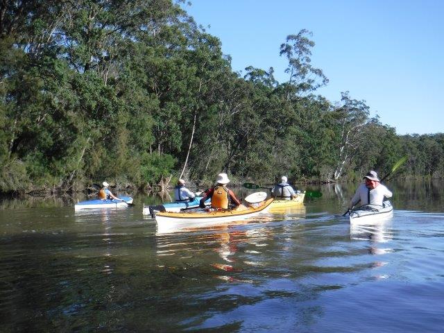
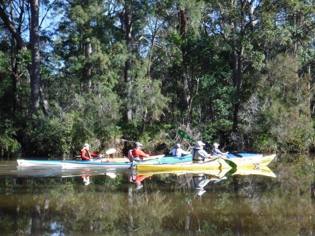
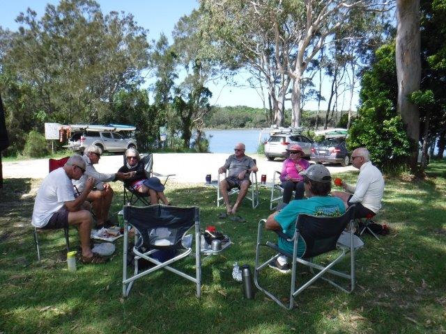
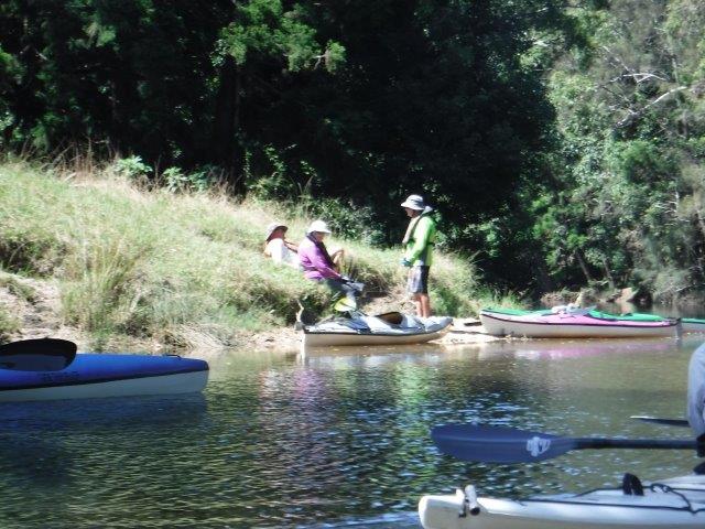
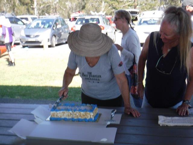
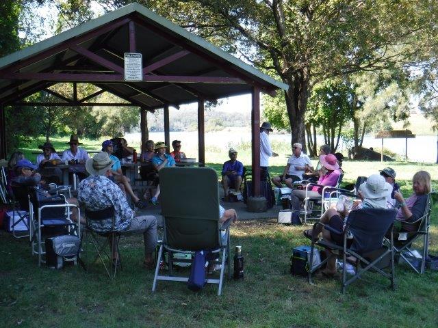
Hi everyone,
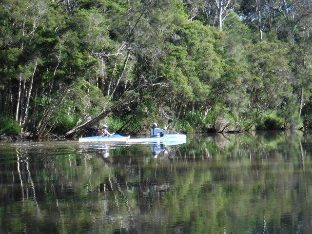
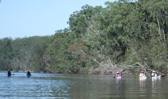
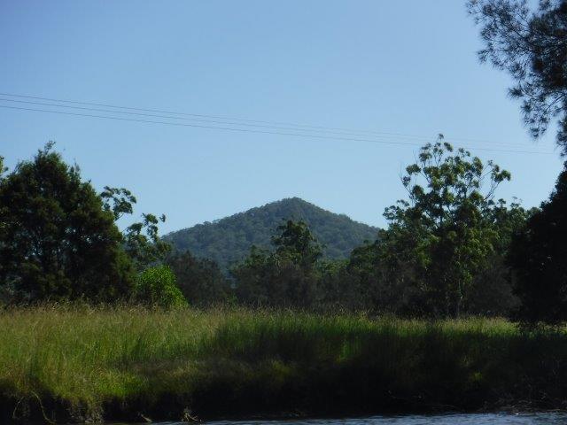
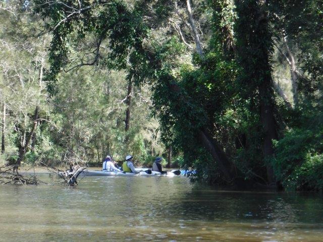
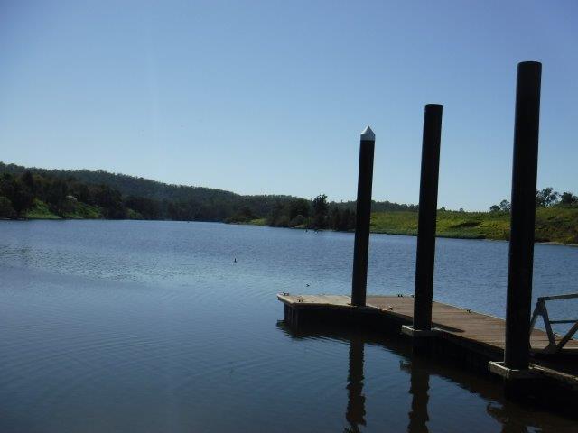
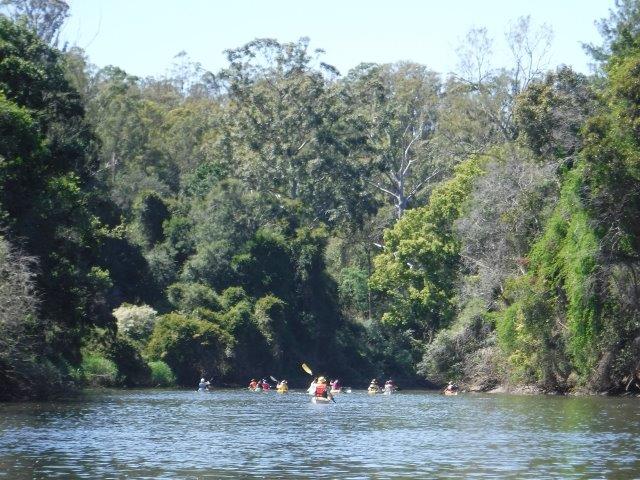
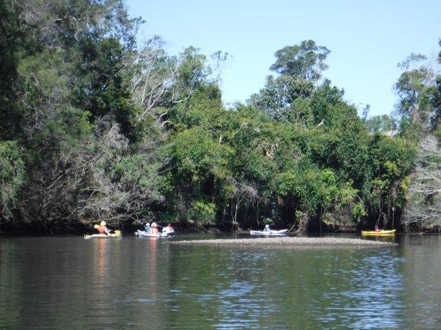
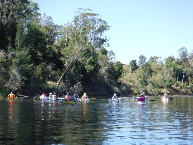
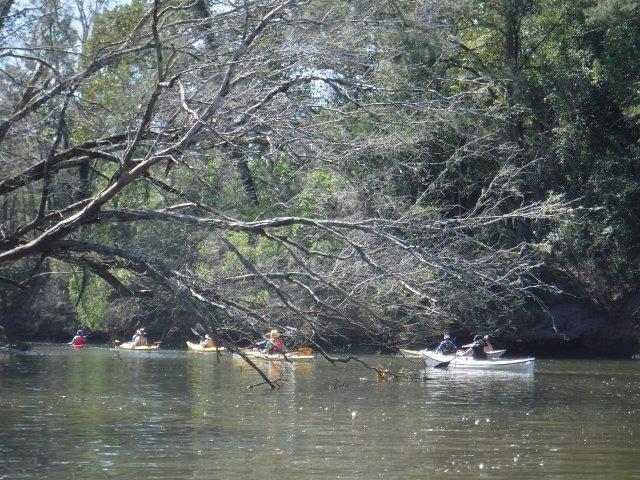
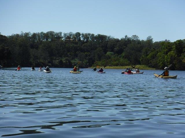
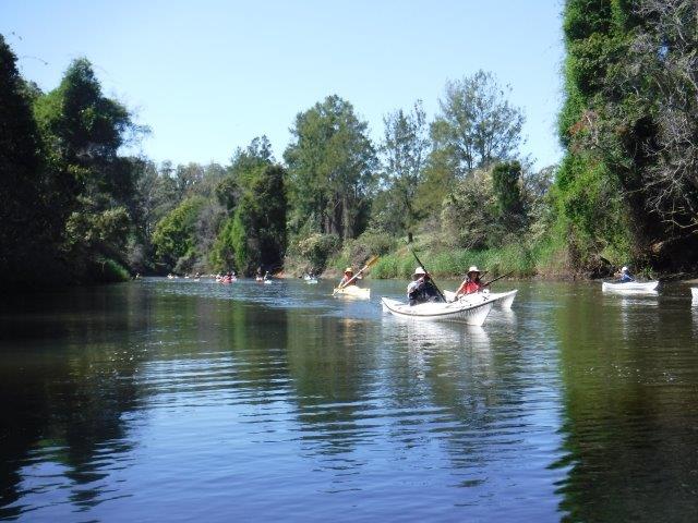
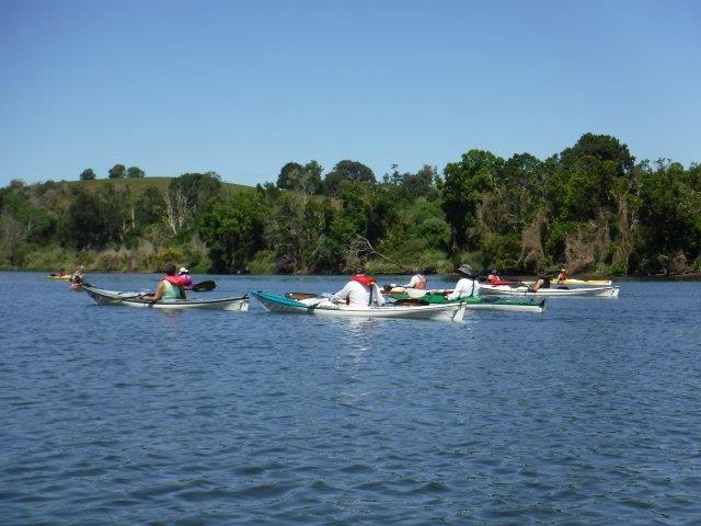
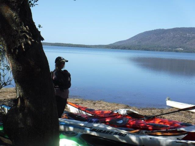
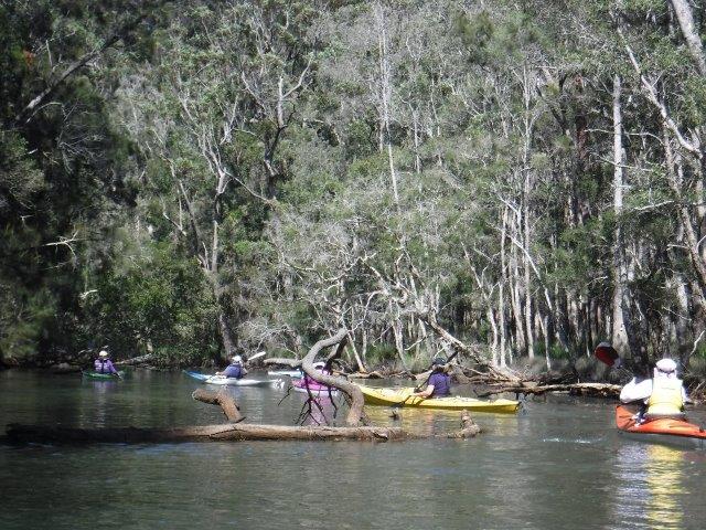
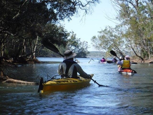
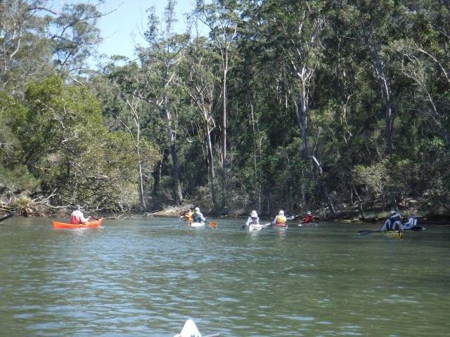
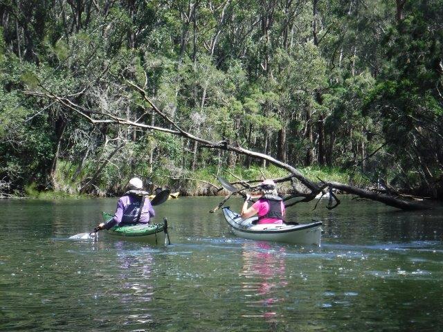
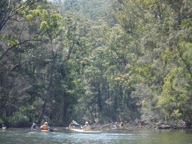
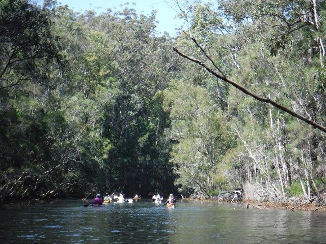
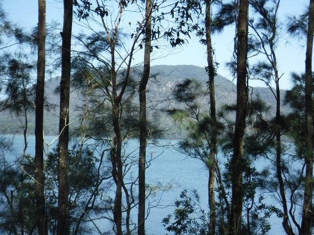
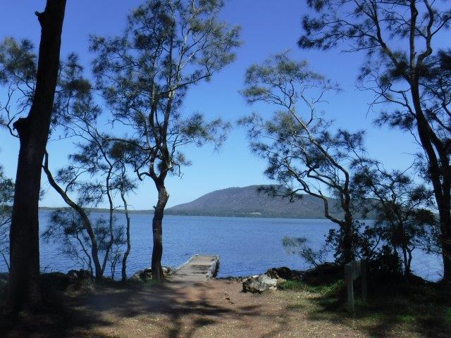
Eight of us enjoyed a perfect Autumn morning last Sunday on our paddle up Herons Creek. Queens Lake was calm & serene & there was just a light breeze, not like the Antarctic chill that has blasted up the river the last few days.
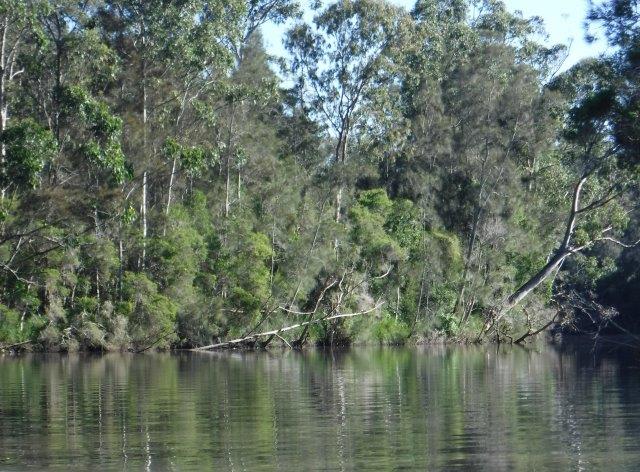
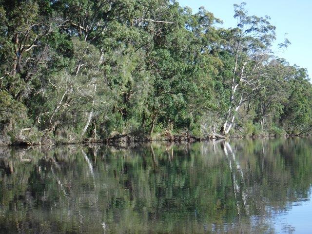
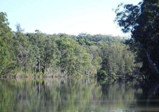
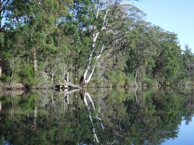
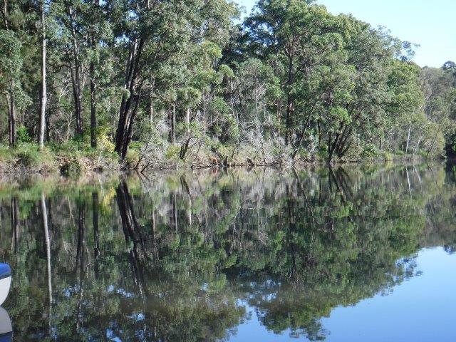
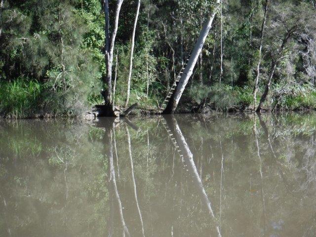
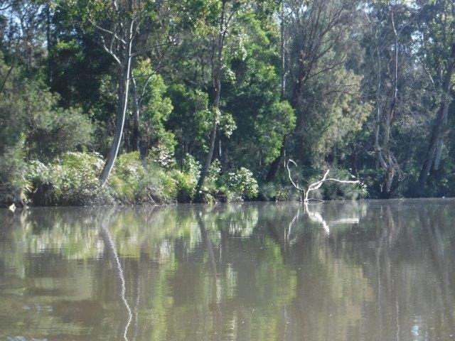
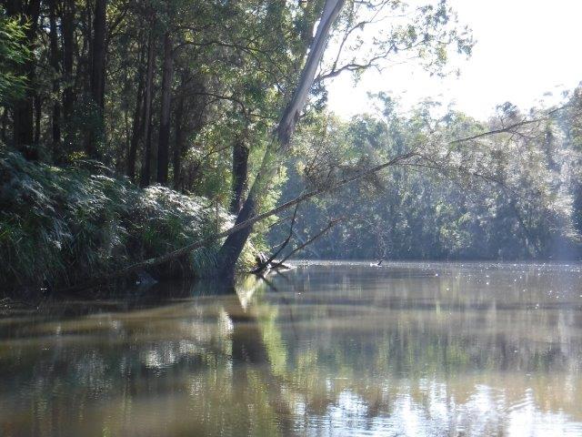
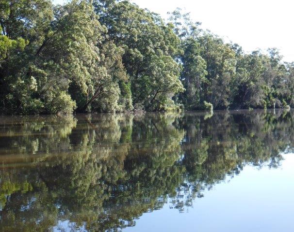
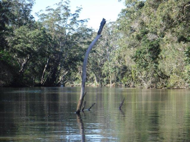
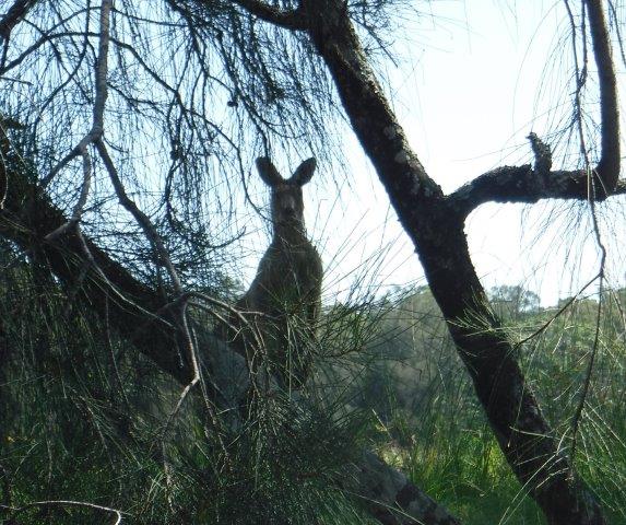
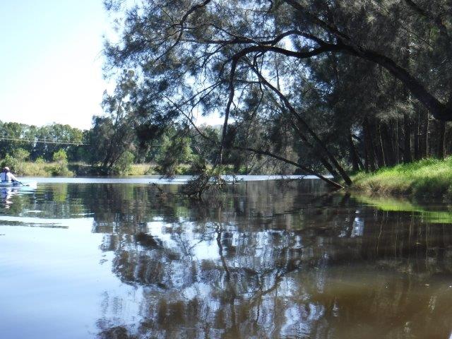
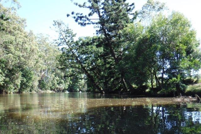
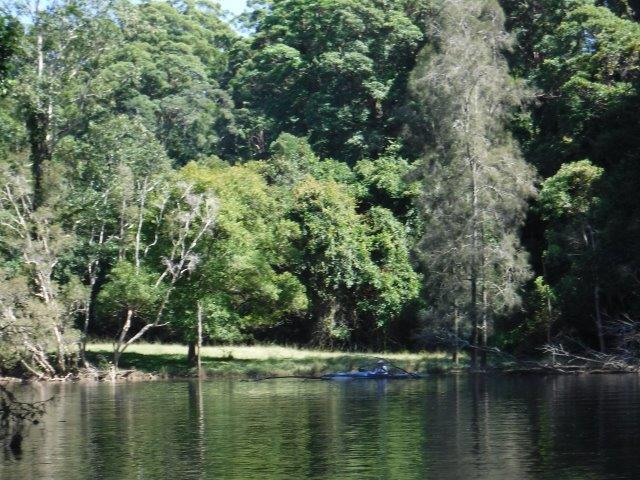
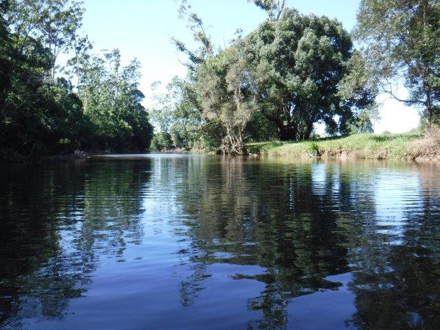
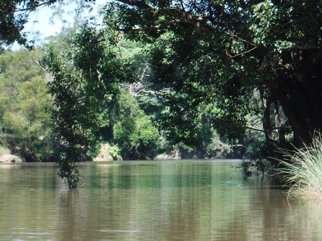
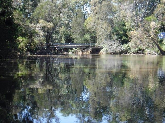
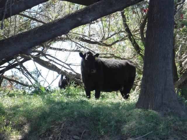
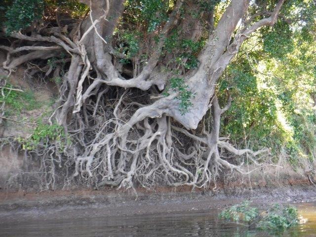
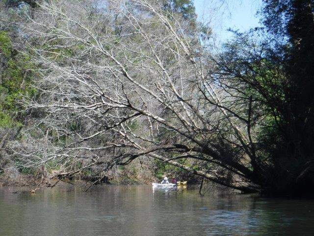
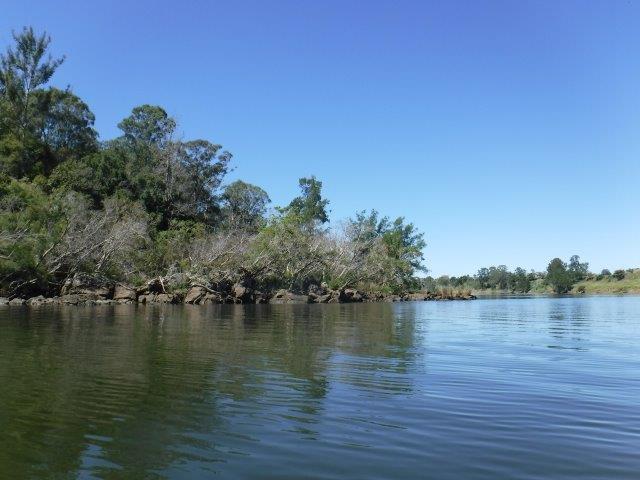
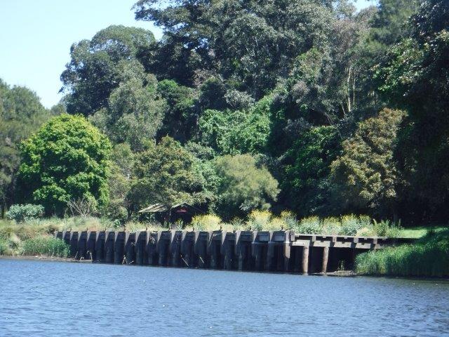
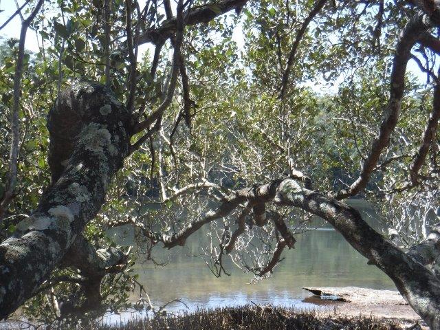
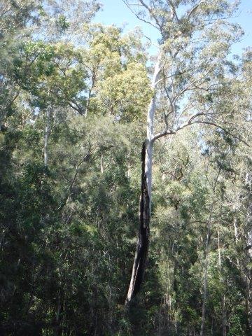
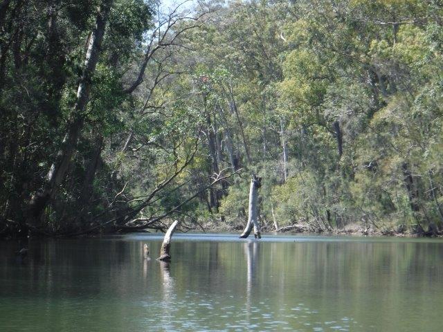
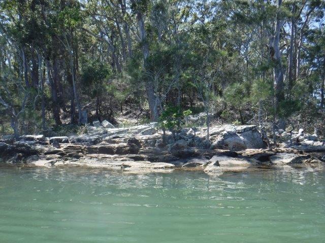
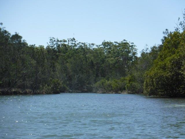
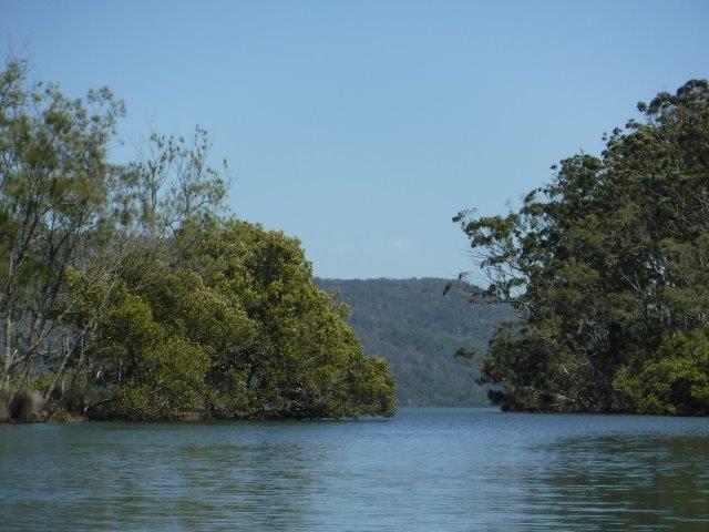
Herons Creek never disappoints. This wide creek which runs off the lake is wide and meanders gracefully, bordered by beautiful stands of tall timber and farming land. There were some lovely reflections and sea eagles & osprey were engaged in fishing expeditions. Needless to say, everything is very green & lush after all the rain. The water is very discoloured at present but that did not detract from the surroundings & the atmosphere.
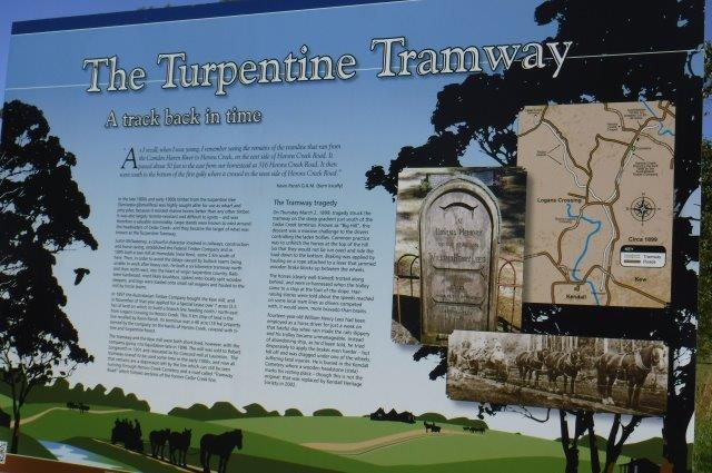
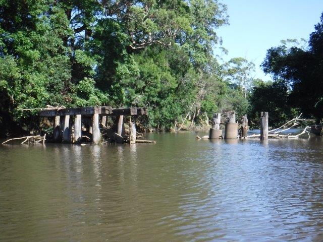
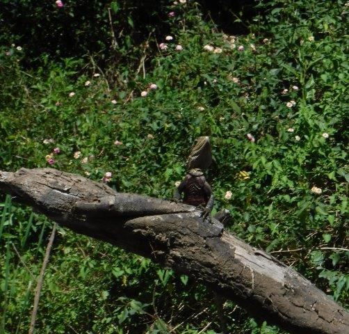
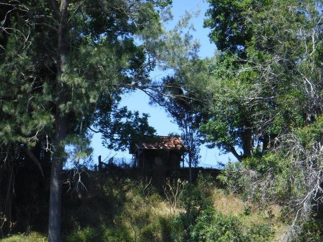
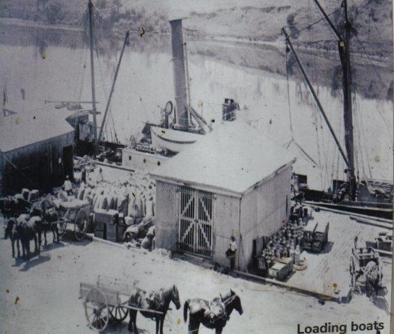
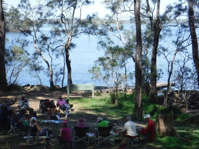
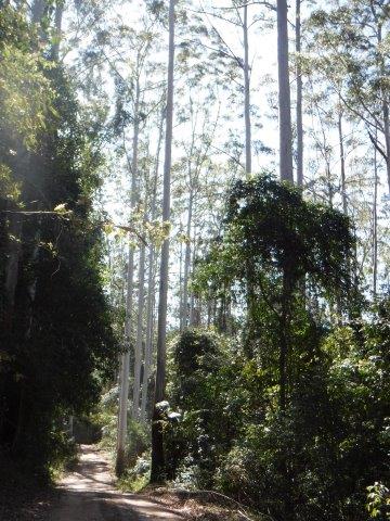
On our way home we deviated into Herons Creek village for a look around & found some very interesting information about the area’s early European history.
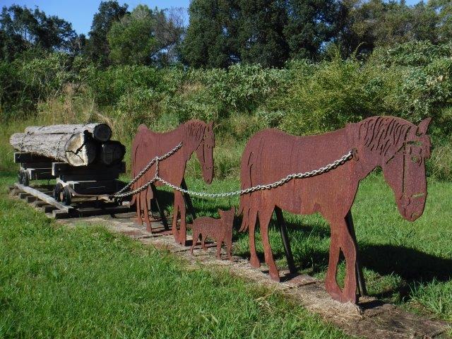
The area was home to the Turpentine Tramway and a very informative historical information board and sculpture tells the story.
In the late 1800’s & early 1900’s timber from the turpentine tree was highly sought after for wharf & jetty piles because it resisted marine borers better than other timbers. It was also largely termite resistant and difficult to ignite & therefore a valuable commodity. Large stands of this timber were known to exist around the headwaters of Cedar Creek and they became the target of what became known as the ‘Turpentine Tramway’. In 1895 one Justin McSweeney established the Federal Timber Company & built a sawmill at Homedale (near Kew). In order to avoid the delays caused when bullock teams were unable to work after heavy rain, he had built a 6km tramway in the heart of the turpentine country. The rails were hardwood spiked onto locally split wooden sleepers; logs were loaded onto small rail wagons & hauled to the mill by a horse team. In 1897 the Australasian Timber Company bought the Kew mill but both it & the tramway were short lived as the company went into liquidation in 1898. The mill was sold & relocated to the Concord mill at Laurieton. The tramway ceased operation in the early 1900’s. This tramway was not without incident and on March 2 1899 a tragedy occurred when a 14 year old youth, who had been employed as a horse driver for only a week, was killed on the job. Rain had apparently made the rails slippery, and his trolley became unmanageable ( it was a practice that the horses were unharnessed & walked behind the trolleys on steep down hill sections & re harnessed on the flats). Instead of ‘abandoning ship’ as advised, he tried desperately to apply the trolley brakes harder but fell off and tragically was dragged under one of the wheels. He died from his injuries & is buried at Kendall cemetery.
Thanks, Peter, for leading this trip and to those members who came along for the paddle.
Caroline
mid north coast
Deep Creek at Valla
Hi everyone,
Eight of us enjoyed a beautiful paddle on Deep Creek at Valla last Sunday. As a club we have not paddled up here since 2012 when the late Brian Scholz introduced us to it. Deep Creek is a hidden gem with a stunning estuarine entrance flanked by healthy mangroves & other trees and graced by a lovely old timber footbridge which crosses over the estuary linking Valla Reserve (where we launched) with South Valla Beach. While doing my research I came across references to two other creeks in the vicinity – Oyster Creek & McGrath Creek – which we will have to check out in the future. Our paddle was approx. 14 kms return…& we did not reach the end of the creek. There are several little “sandy beaches” along the course of the creek which is wide and lined with soaring stands of timber. At one point there was a group of substantial pine trees, a couple leaning precariously across the creek. We spotted a couple of other launch sites along the way and when we checked out one on our way home we came across a group of local kayakers getting ready for a paddle!! This is just under Deep Creek Bridge. Launching here would shorten the paddle while enabling us to reach the end of the navigable water.
Deep Creek is tidal and fringed partly by forested, steeply descending banks, mangroves, fringed redgum woodland floodplain or mangrove mudflats. The red cedar in the area was the original attraction for Europeans and in 1863 the first whites to take up a selection of land were two brothers from Dublin, Nathanial and Andrew Buchanan. Their first home was constructed of slab and bark and stood on the banks of Deep Creek. The name Valla is said to have been chosen to match that of the British residence of 19th century diplomat Andrew Buchanan. A post office was opened at Deep Creek in 1905; it was renamed Valla in 1906.
Valla is the traditional country of the GUMBAINGIRR people. Valla Beach has many sites that are of high cultural significance & importance to these traditional custodians. One such is Pickett Hill (Nurguu Mirrai), a men’s only site which has been identified and approved as a protected area.
..”For thousands of years the Valla- Nambucca area has been part of the domain of the Gumbaingirr – a vast Aboriginal group whose territory extended along the NSW Mid North Coast from the Clarence River in the north, to Macksville in the south and west as far as Glen Innes. Within this broad area covering around 6000 square kms, the Gumbaingirr were organised into a number of subgroups or clans, generally described as extended or interlinked family groups sharing a common dialect…neighbouring Aboriginal groups included the Bundjalung to the north; Nganyaywana to the west; and the Ngaka clans groups of the Dainggatti to the south”. (“Aboriginal & European Cultural Assessment Report, Valla Urban Growth Area, Valla NSW by Mary Dallas Consulting Archaeologists).
The same report states that from the early 1880’s a total of 16 Aboriginal Reserves were established…between the Macleay & Bellinger Rivers. In February 1894, 40 acres were gazetted for such purpose at Cow Creek near Valla in the Parish of Valley Valley. It was listed for use by an Aboriginal man, Fred Buchanan and his family. It was degazetted in 1952. The area is of high significance to the local Aboriginal community as Aboriginal people are known to have been buried there in the historic period the Reserve.
As we paddled there were lovely views through the trees and across farming land to conical shaped hills in the hinterland. Mt. England and its associated ridgelines lie to the immediate west and northwest & Gordons Know to the west ( & southwest). It was lovely to see kangaroos grazing quietly along the banks and the scenery was pleasant. There was a bit of a breeze blowing on the way up but it assisted us, along with a run out tide on the return trip. As we emerged back into the estuary there were lovely views through to the rocky outcrop on Valla Beach as well as the old footbridge. We enjoyed a picnic lunch in the shade overlooking the water at Valla Reserve.
Thanks to those who joined us; we hope it was worth the trip.
Cheers
Caroline & Bill
PMHCC 13th Anniversary
Happy 13th anniversary Port Macquarie Hastings Canoe Club Inc!
Last Thursday we celebrated this landmark with a lovely cake ( thanks Greg for organising this ) after our paddle.
Hard to believe it was that long ago that we had a public meeting in the outdoor bbq room at Hibbard Sports Club to discuss interest in forming a canoe club in Port Macquarie. A lot has happened since then & we have a solid membership base thanks to the hard work of our various committees & dedicated members over the years. We have paddled lots of beautiful creeks & rivers, made good friendships, enjoyed good times & shared sad times.
Thanks everyone for your ongoing support.
Keep paddling
The Committee, PMHCC INC


Limeburners Creek to Saltwater Lake
Hi everyone,
What a top day last Sunday was. It was great that 17 of us enjoyed perfect conditions on the water in Limeburners. Greg’s group of 13 enjoyed a
13.5 km meander through the lagoon areas & Shallow Lake while Bill’s four had a great 27 km return paddle down Limeburners Creek to Saltwater Lake. This area has a great history dating back to pre European settlement ( the known period of Aboriginal occupation is 5 – 6000 years ), through to the exploitation of middens for lime for building purposes in the penal colony to the development of the oyster industry in the 1880’s.
In 1971, Limeburners became the first nature reserve established on the north coast of NSW. In 2010, 9,223.3ha, including the reserve, was declared a national park. Since then an area of 8360ha within the park has been declared wilderness under the Wilderness Act, 1987. (Wilderness areas are defined as large, natural areas of land that, together with their native plant & animal communities, are essentially unchanged by human activity ). One of the major reasons for the declaration of Limeburners as a national park was to protect a butterfly found only in the Port Macquarie area. This unique hybrid butterfly, Tisiphone abeona joanna, is dependent on the Ghanian ( mangrove ) swamps of Saltwater Lake. The park also includes an endangered plant species…Allocasuarina defungens ( see photo ), a dwarf heath casuarina, a species of casuarinaceae or ironwood native to the north coast of NSW.
Most of Limeburners consists of extensive wetland. 70% is identified as coastal wetland & there are eight wetland areas identified within the park. Limeburners includes the coastal strip around Big Hill & Point Plomer headlands, the hinterland country surrounding Saltwater Lake & sections of the heath woodland sandplains west of the Maria River Rd. The park also includes Saltwater Lake, part of the bed of Limeburners Creek & a number of islands within the creek & part of Barries Beach & North Shore Beach down to the mean low water mark.
After departing Tom Dick’s Hole Bill’s group paddled down to & across Shallow Lake & then paddled into the creek proper. The smell of mangrove blossom & birdsong greeted us almost immediately & we saw a majestic sea eagle, osprey & at least 10 azure kingfishers darting just above the surface of the water at breakneck speed. Schools of little fish skittered across the water while in the canopy glossy green elk ferns hugged their tree hosts. I spotted a tiny, fluffy thumbnail orchid on an old branch & the whole environment looked green & healthy. Two young swans stayed just ahead of us for some distance until they found a hiding place amongst the mangroves. We had a quick morning tea stop just past the old camp before the final run down to the lake. The usual obstacle course of fallen timber in this section was not as bad on this paddle & we noticed lots of downy feathers all along the banks. The reason for this became clear when we reached the lake as we were greeted by lots of swans gliding about, adults & juveniles. While paddling out on the lake, Ken & Bill spotted a deer flying across the shallows…as if walking on water…from the island to the mainland. It is always both humbling & exhilarating to emerge onto the lake, after the seemingly endless twists & turns of the creek, & to sit there in splendid isolation enjoying both the beauty & remoteness in the knowledge that very few people get to experience it. But time & tide wait for no one so we did not linger long. As the old scout camp has been dismantled & is now overgrown, we paddled back & had lunch at what used to be Roger & Barb’s morning tea spot. It would be an understatement to say we missed the sight of Roger in his battered old hat & the smell of his billy of green tea brewing on a little campfire. Good memories on what was their favourite paddle. The creek environment changes constantly from closed in areas with old, over hanging trees to corridors of river & grey mangroves, casuarinas, gums & dense back vegetation to open seagrass meadows. Closer to the lake the vegetation thins out, the tree trunks are skinnier & the sky more visible through the foliage. The lake bursts through the tree line in all its vastness & is always a sight to behold. It will always be the classic paddle, or as Ken commented….that’s what I call a paddle.
Thanks to Greg & Bill for leading the paddles & we hope everyone enjoyed their day. Limeburners is special & we are so lucky that it is still in such pristine condition.
Information gleaned from the Limeburners National Park Plan of Management. I have included a photo of a hand drawn map of Limeburners with early placenames which I obtained from the library. Also, a photo of the endangered dwarf heath casuarina.
Cheers
Caroline
Queens Lake Nature Reserve into Waterloo & Bobs Creeks
Hi everyone,
Last Sunday, despite wind predictions, our paddle went ahead & 18 of us enjoyed a short but picturesque paddle from Queens Lake Nature Reserve into Waterloo & Bobs Creeks on the northern side of Queens Lake. Bill & I paddled a bit further up to Limeburners Creek which we feel deserves a separate paddle in the future.
The road into the picnic area/reserve was a bit bumpy & dusty, but it is always worth it as the views across the lake are glorious making it one of the best picnic spots around. Had a bit of a tight squeeze at one point with a Winnebago type camper coming out, but otherwise no dramas. We launched our kayaks at the little dirt ramp access into Waterloo Creek which is very pretty but short due to fallen timber making navigation impossible.
This is such a scenic area with expansive lake vistas & sweeping views across to Dooragan & Mooragan, aka North & Middle Brother mountains. The third ‘brother’, Booragan, is further south near Moorbank. Described as “off the beaten track” & a “lakeside haven for koalas & wildlife”, the Queens Lake Nature Reserve & State Conservation Area covers 2449ha & lies within the traditional country of the Birpai peoples. The surrounding forests are home to over 200 species of animals, lush vegetation, dense rainforest & some magnificent stands of old growth gums ( which you drive under on the way in ).
The parks comprising the State Conservation Area ( including Queens Lake Nature Reserve ) are underlain by a range of rock formations ( the little headlands on this side of the lake are quite rocky ) of sedimentary, igneous & metamorphic origin ( reminds of geography lessons at school !! ), some up to 350 million years old. They are substantially different from the relatively recent sand environments protected by most other coastal parks in the region.. The southern end of the Nature Reserve drains into Waterloo, Bobs & Herons Creeks into Queens Lake which is part of the Camden Haven estuary. The northern end drains into Cowarra Creek which in turn flows into Lake Cathie. The Nature reserve’s minor creeks drain directly east of the Jolly Nose Escarpment & flow into the ephemeral coastal wetland system to Duchess Gully which reaches the ocean at Rainbow Beach. ( Information courtesy of the Queens Lake State Conservation Area Plan of Management ).
After a quick peek into Waterloo Creek we paddled around the edge of the lake & into Bobs Creek where we enjoyed a leisurely paddle, navigating the amazing underwater tree graveyard before being stopped again by fallen timber. The trees in the ‘graveyard’ lie just below the surface & have a soft yellow/green glow under the sun’s filtered rays. They lie menacingly & deceptively just underneath the surface at every imaginable angle, a potential trap for paddlers if you don’t get the water height in the creek just right!! Back out on the lake the main group kept paddling around the perimeter for awhile while Bill & I turned back & headed across to Limeburners Creek ( which can also be accessed from Stingray Creek if there is enough water ). This is a much wider creek with far less debris & worth checking out properly as another paddle. The views across to North Brother as you exit this creek are lovely.
After a relaxing, secluded lunch overlooking the lake, we all headed back out to the world of bitumen, highways & the saturation coverage about Trump & anything & everything to do with the US elections & COVID, both of which are not ready to let us out of their clutches any time soon!!
Once again I say how lucky we are to live in this beautiful region & to be able to enjoy quiet, secluded interludes like this.
Thanks Peter for leading & to everyone who came along. We hope you enjoyed it.
Cheers
Caroline


