Hi everyone,
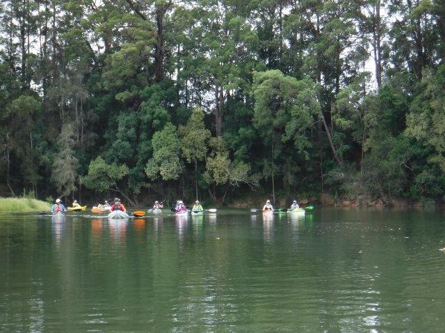
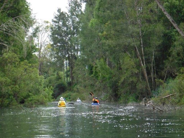
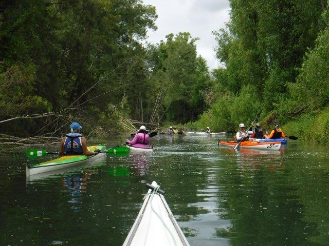
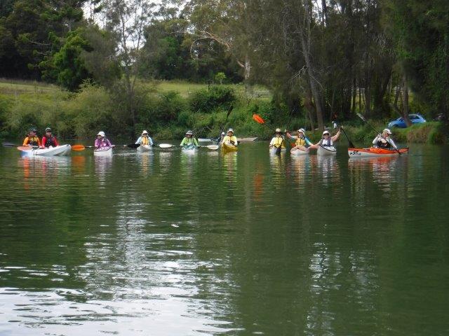
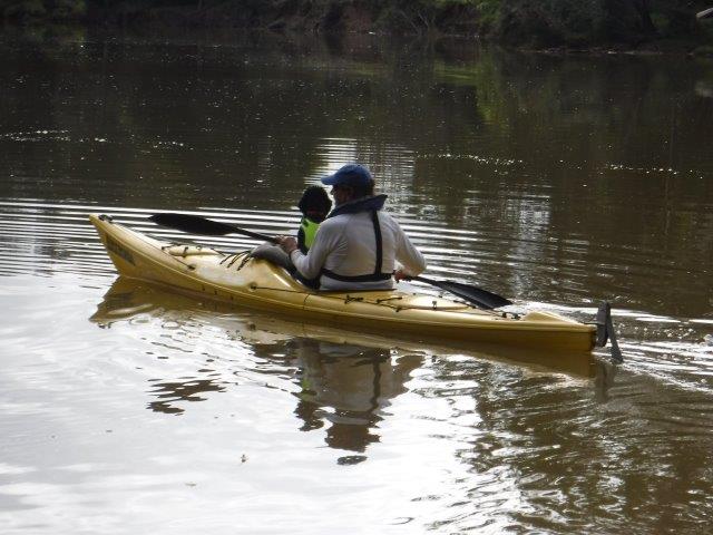
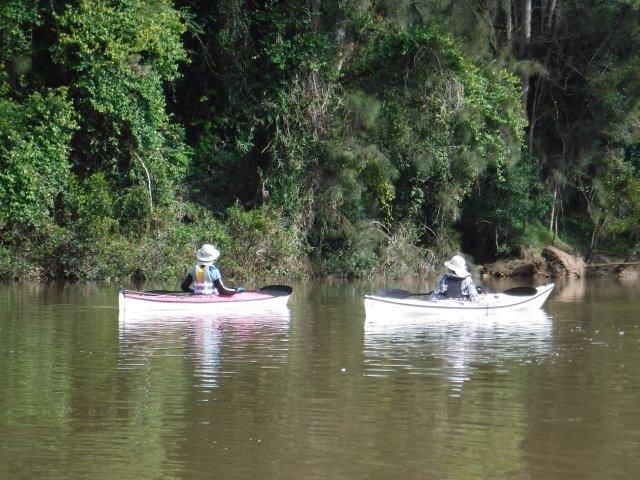
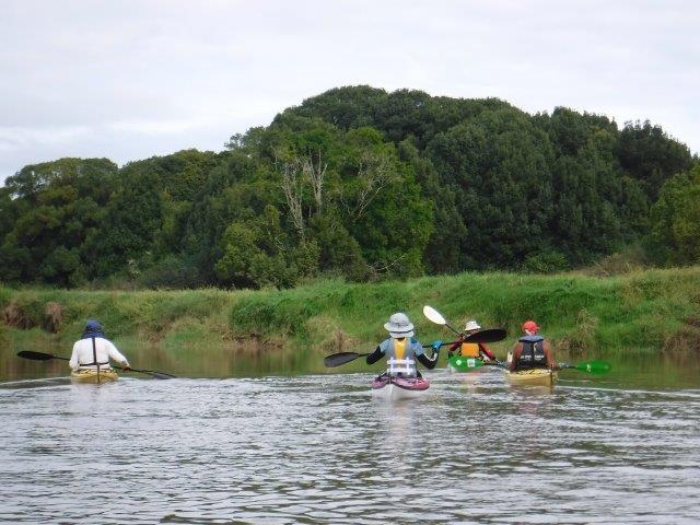
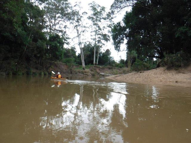
16 of us travelled up to Macksville last Sunday for a peaceful paddle on the upper Nambucca River from Devil’s Elbow towards Bowraville. The big high tide made for very comfortable paddling as the low gravelly areas we often encounter were well submerged.
This is the country of the GUMBAYNGGIRR people. Their traditional boundaries were north to the Clarence River, west to the Great Dividing Range & south to a point south of the Nambucca River. The GUMBAYNGGIRR were traditionally known as “the sharing people” because their land was so rich that food & other resources were shared with other nations (coffscoast.com.au). One of the roads in the area – GIINAGAY- translates as welcome. The word NAMBUCCA translates as crooked/winding river/entrance to waters.
DEVIL’S ELBOW is a generic name used in many rivers to indicate a shallow area caused by gravel at a tight bend. There are many examples of the use of the term Devil’s Elbow throughout the world; Kate mentioned one (a road)) in the Scottish highlands that is quite notorious & featured on postcards. I googled it & it is a double hairpin bend/switchback of a 1 in 6 gradient in the Cairngorms. There is another in Missouri, USA on the historic Highway 66. Situated on Big Piney River, it was so named by rafters responsible for floating timber downriver for a tight, incised meander in the river known as a “devil of an elbow”.
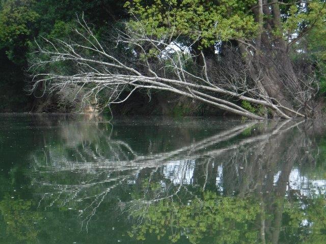
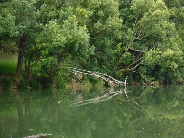
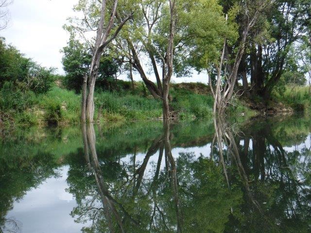
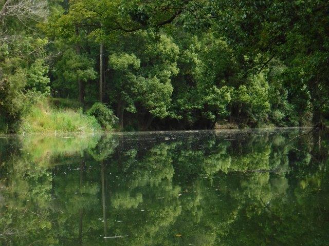
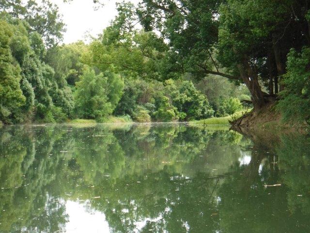
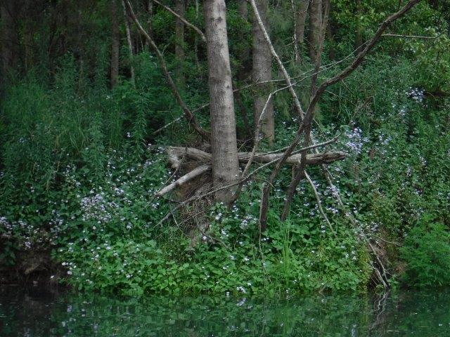
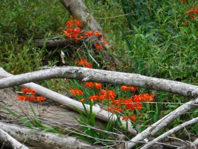
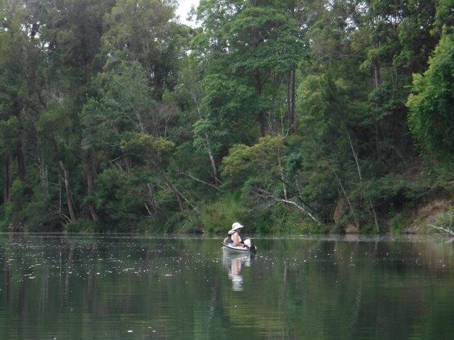
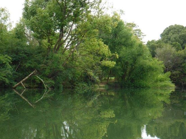
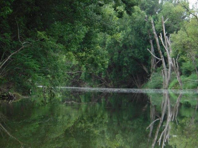
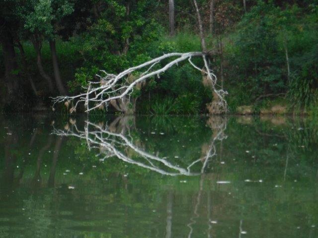
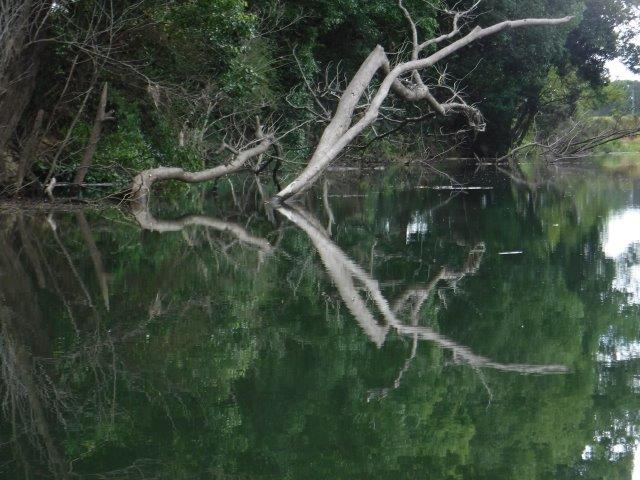
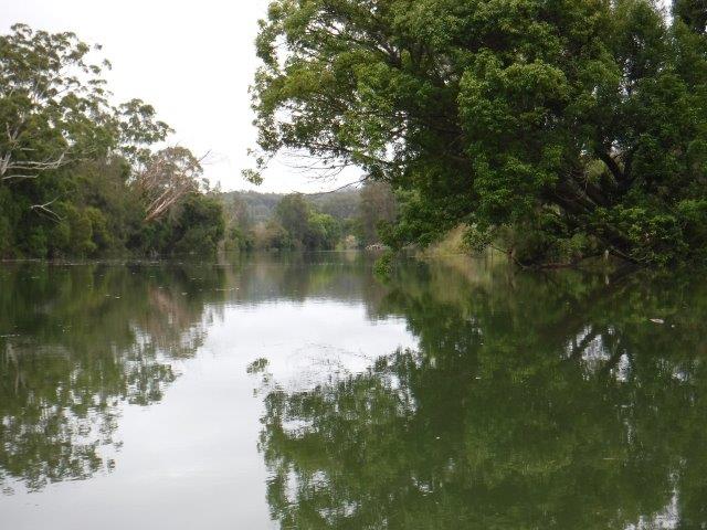
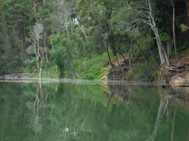
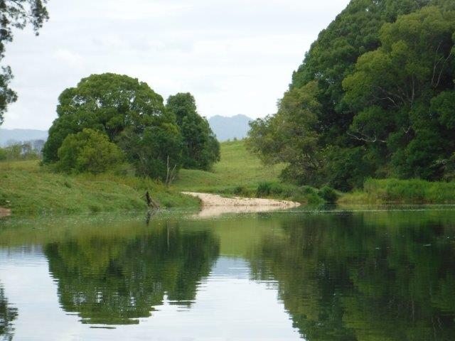
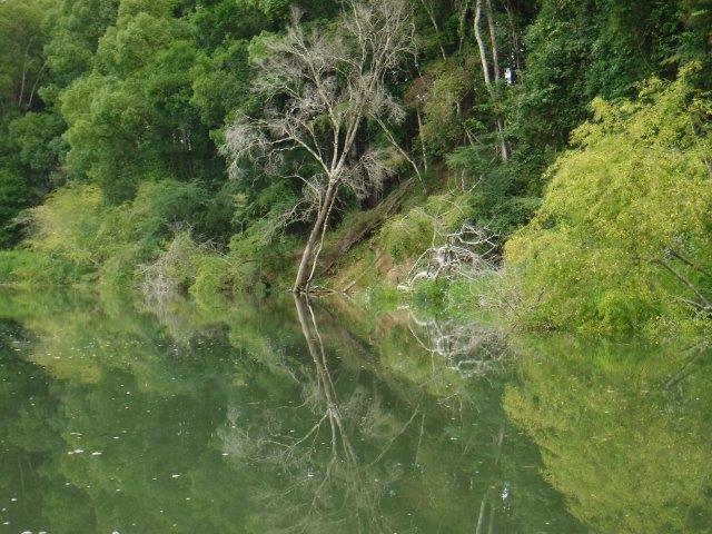
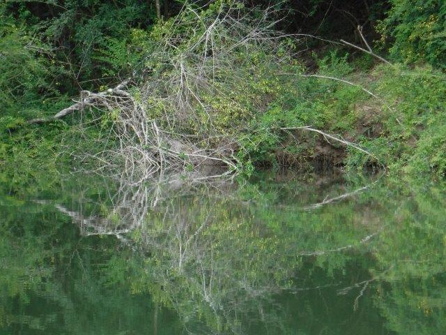
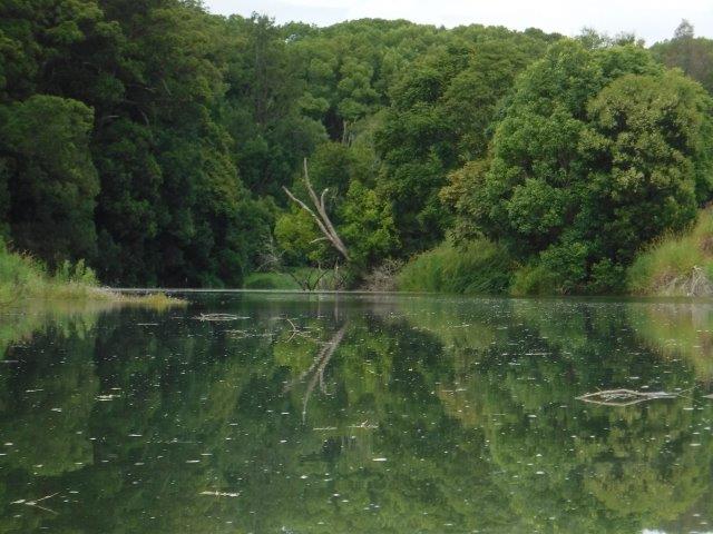
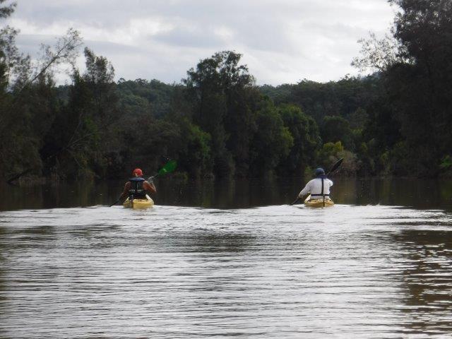
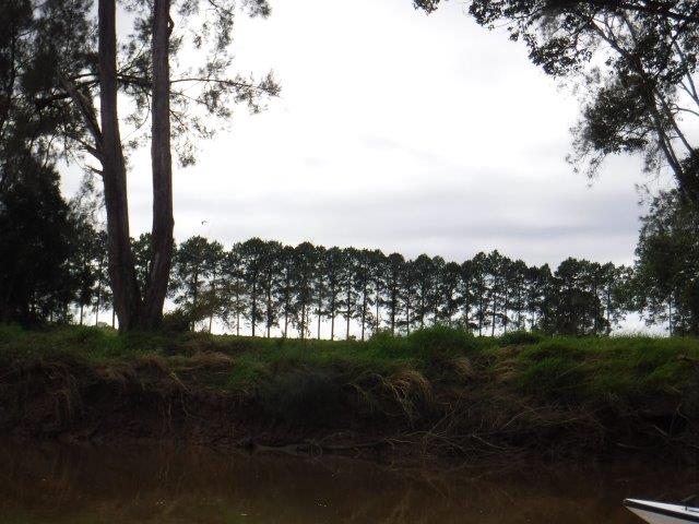
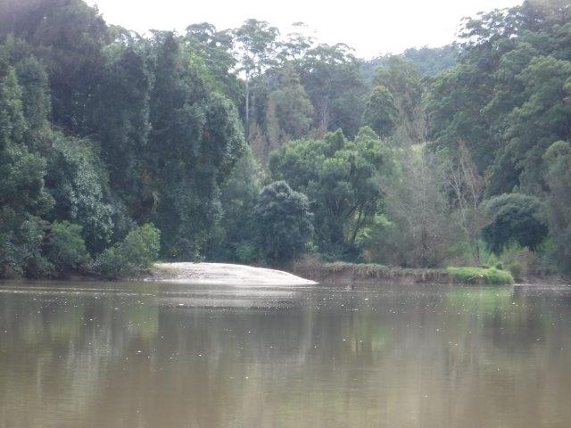
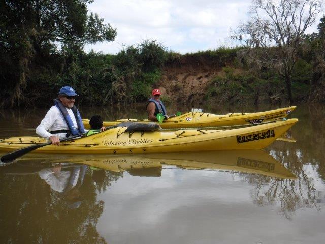
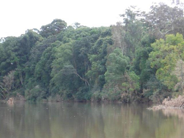
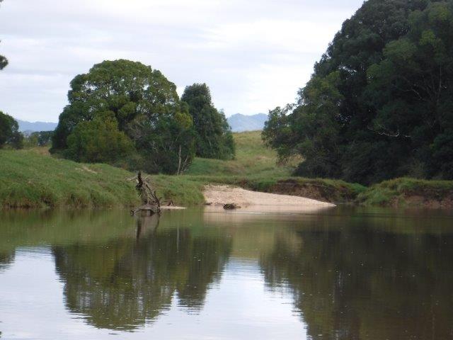
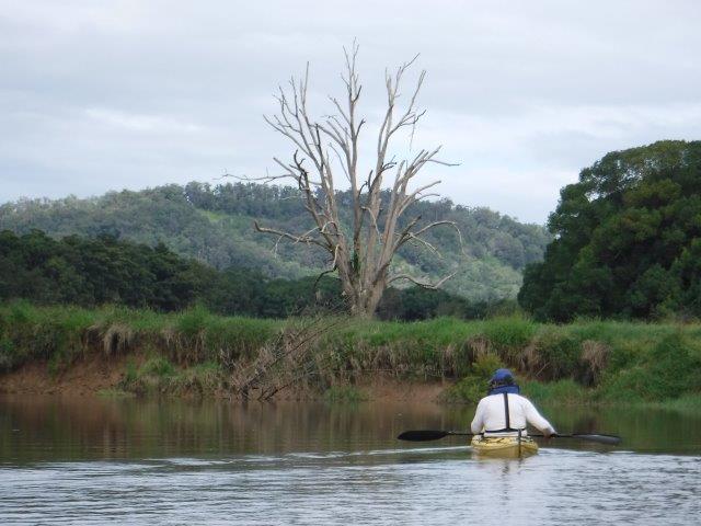
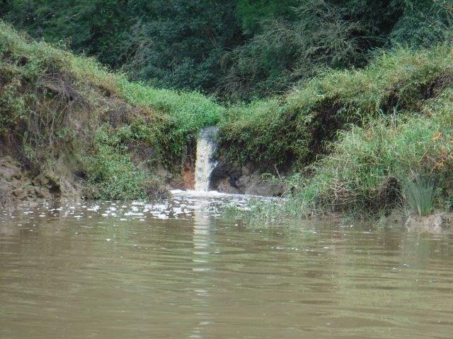
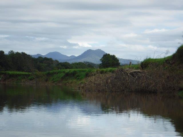
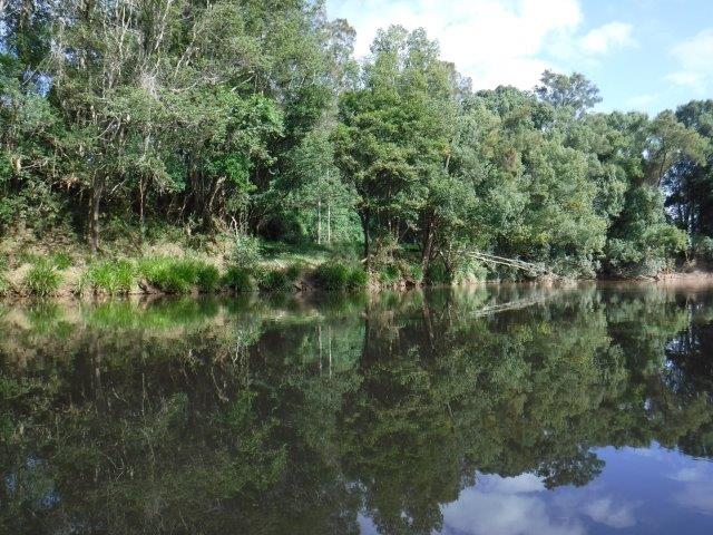
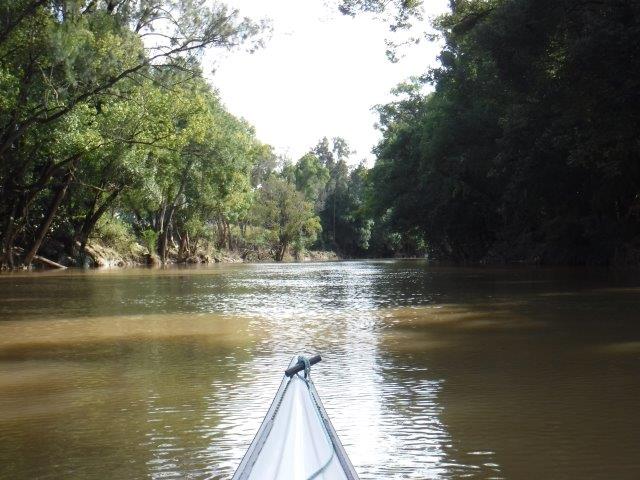
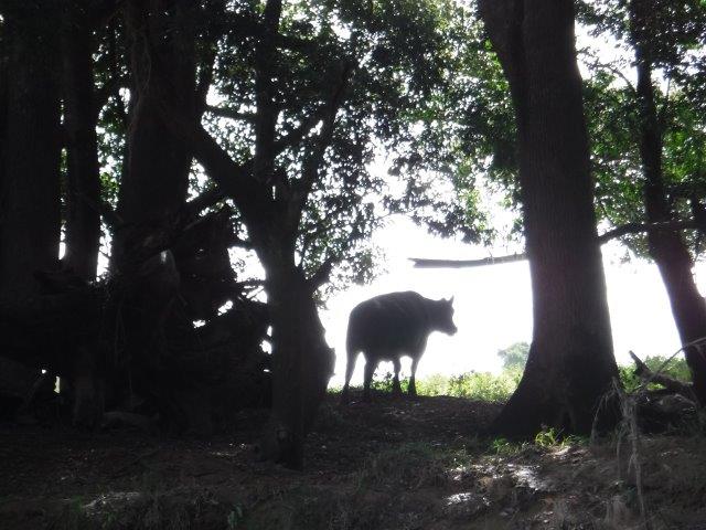
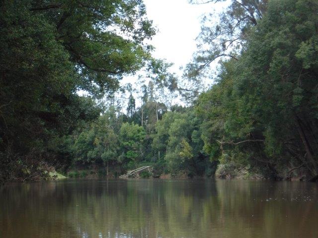
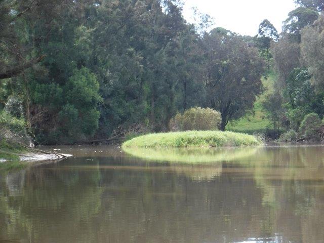
Back at our Devil’s Elbow we enjoyed the luxury of a good concrete ramp to launch & headed upstream .As you will see in the photographs, this is a pleasant, meandering paddle through rural landscapes with towering trees, open paddocks with views through to the hills & little river gravel stopping spots here & there. Although the morning was overcast, it only started to sprinkle lightly as we got back to the ramp. This light allowed the different greens to really be highlighted along with lovely clumps of orange & blue flowers that were dotted along the banks. Lazy cows watched our colourful flotilla drift past their paddock, little birds darted parallel with the banks & now & then a light breeze popped up. There were some lovely reflections of both alive & fallen trees, grassy outcrops midstream & grasses & flowers tumbling down the banks. There are several stands of old, spreading camphor laurel trees whose root systems are holding the banks together in places. Fallen timber finally stopped us & we headed back with the advantage of the run out. This paddle is just over 11 kms return.
Four kms downstream from Devil’s Elbow is WIRRIMBI ISLAND (aka Bowraville Aboriginal Reserve) which was an Aboriginal Reserve from June 1908 to May 1924. It is a place of great cultural significance to the GUMBAYNGGIRR. Another Bowraville Aboriginal Reserve (aka O’Rourke’s Settlement)was located on the Taylors Arm Branch of the Nambucca River. It was operational from 1884 to 1912.
Macksville was named after Angus McKay & Hugh McNally who in 1885 built the Star Hotel in River St. on the banks of the Nambucca River. The town that grew up became known as Macks Village until the name changed to Macksville.
Macksville is also home to the Macksville Gift, the oldest professional foot race in NSW. It was first run in 1953.This professional athletics carnival is run under the patronage of the NSW Athletics League.
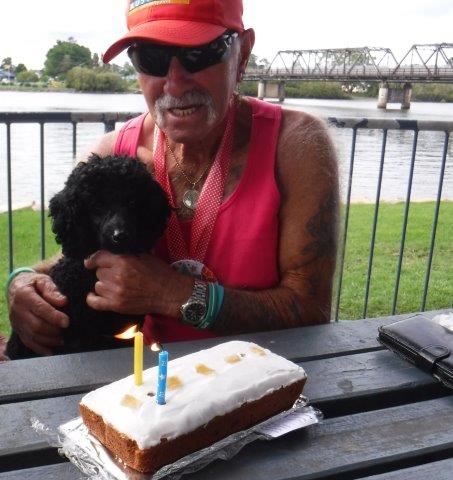
After our paddle a few decided to have lunch at the pub in Macksville while the rest of us enjoyed a picnic at the Devil’s Elbow & wished Jane a belated happy birthday (for Saturday) & helped devour a mud cake expertly portioned out by Bruce.
We hope everyone enjoyed the paddle. Next time we will do Hells Gate on the Taylors Arm branch of the river.
Cheers
Caroline & Bill