kayak

Blog

Stingray Creek to Queens Lake


No Comments

Hi everyone,


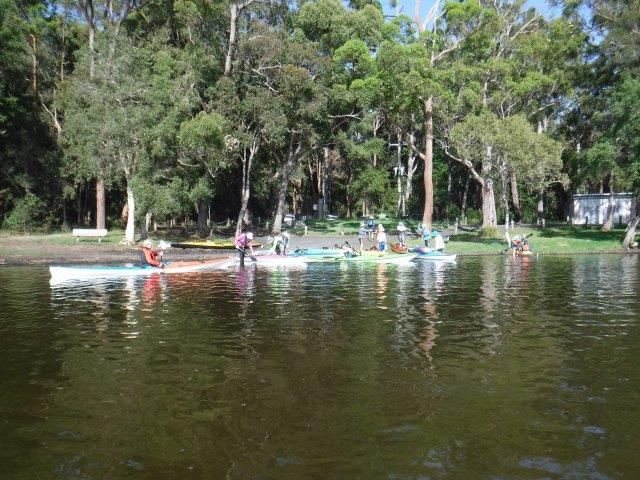
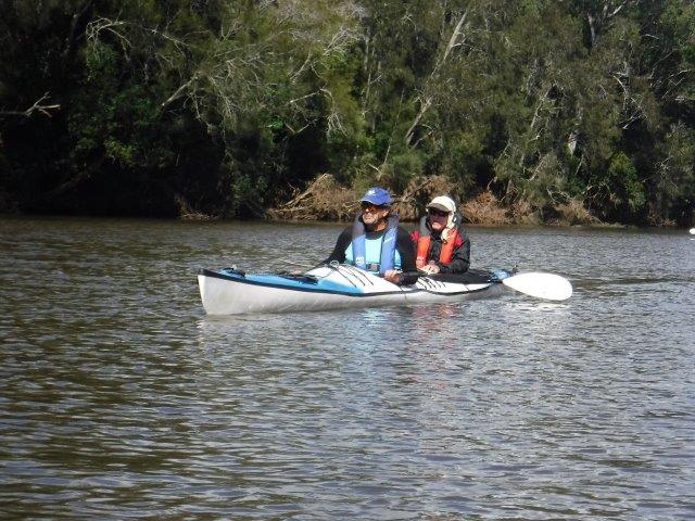
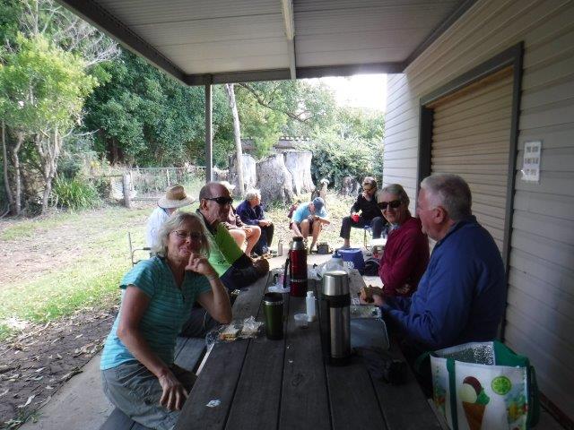
Fifteen of us enjoyed another cool but beautiful morning on the water last Sunday.
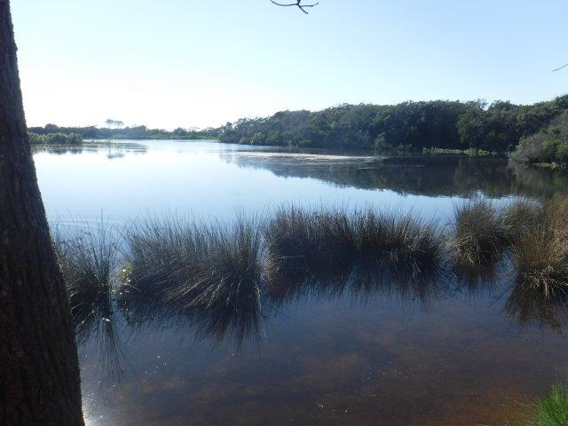
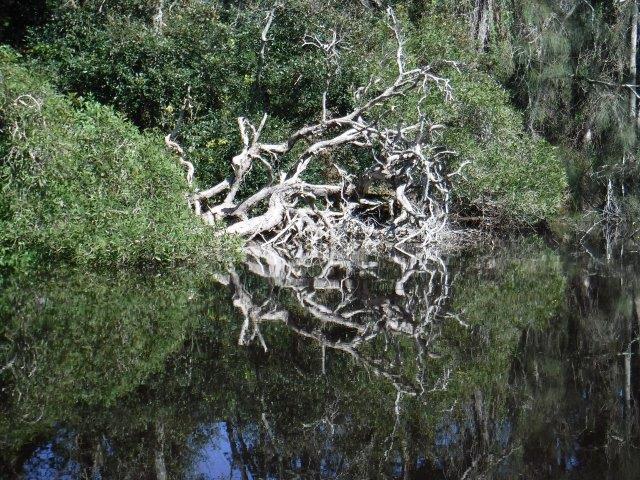
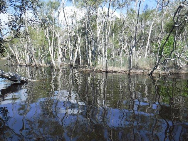
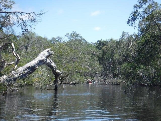
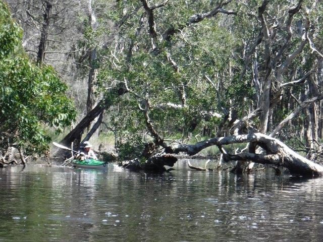
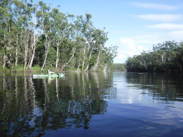
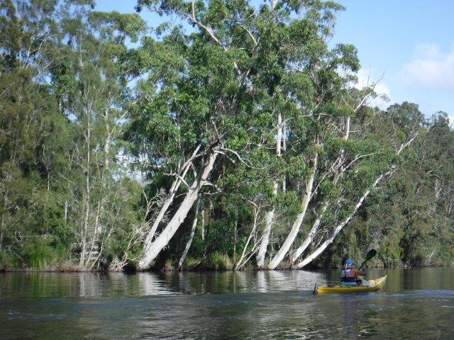
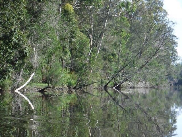
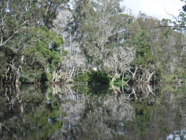
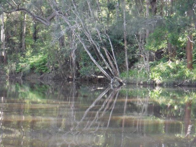
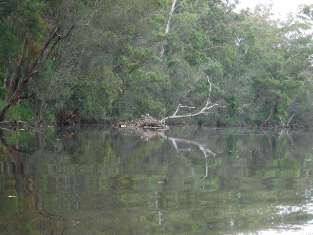
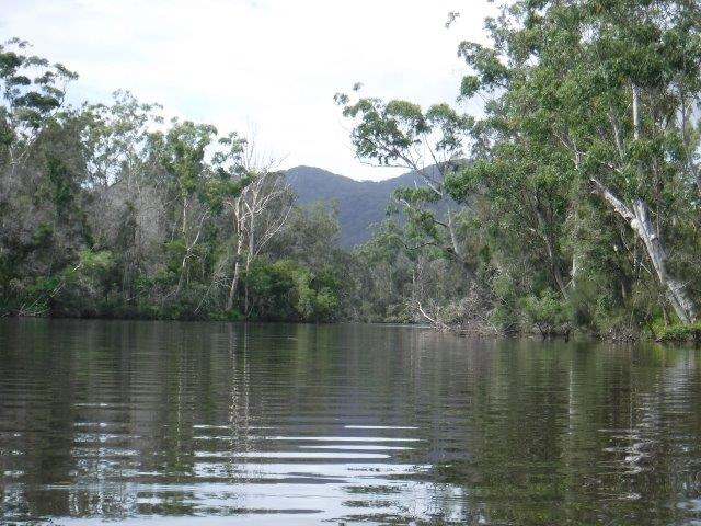
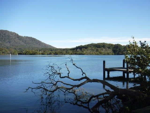
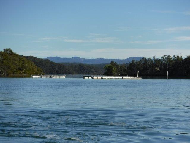
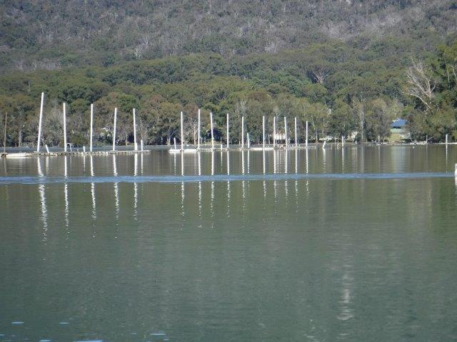
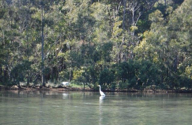
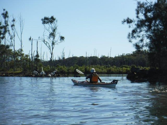
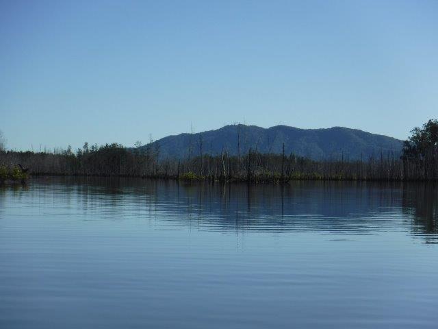
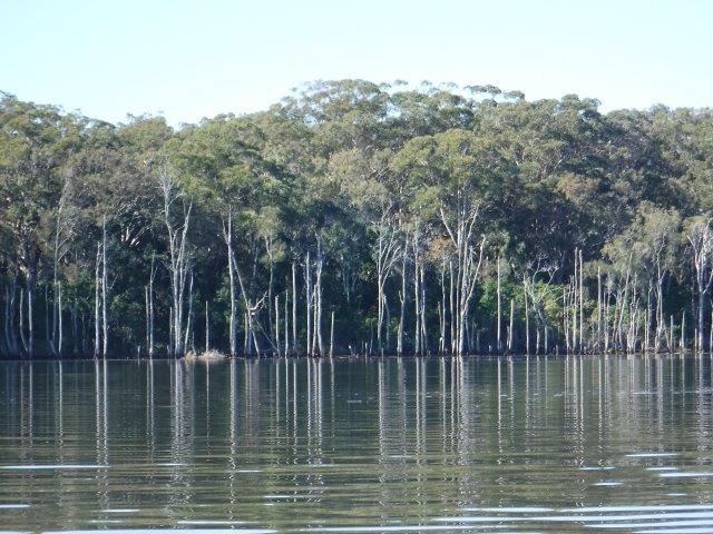
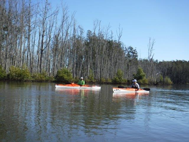
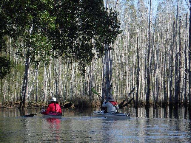
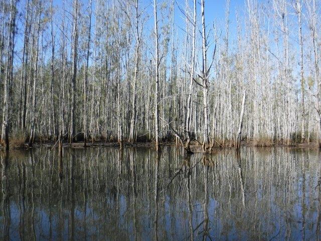
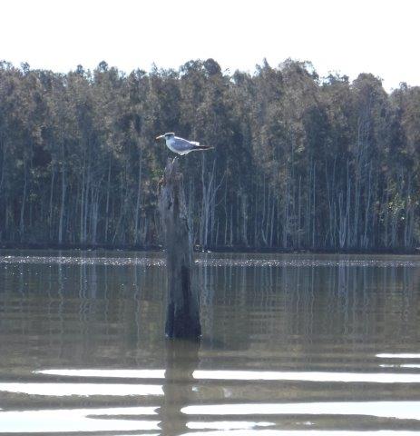
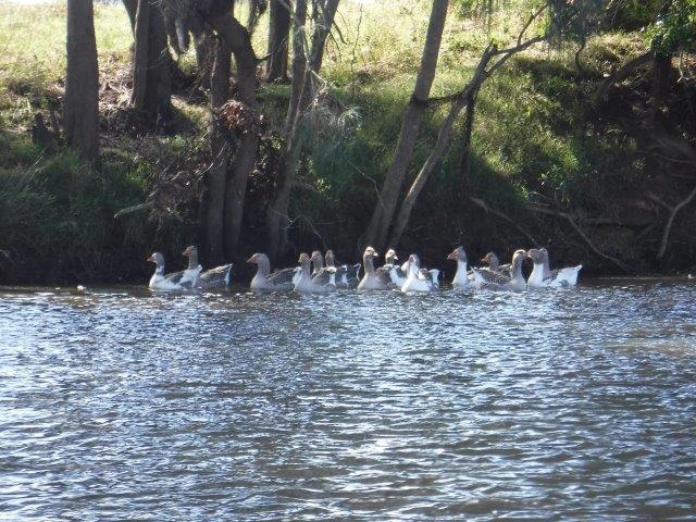
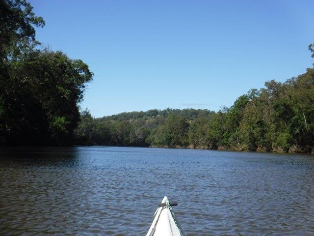
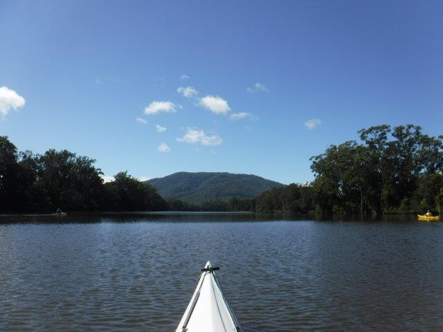
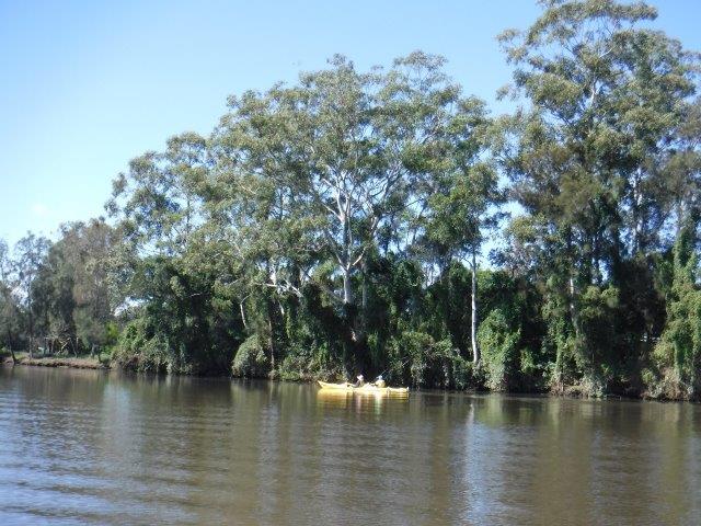
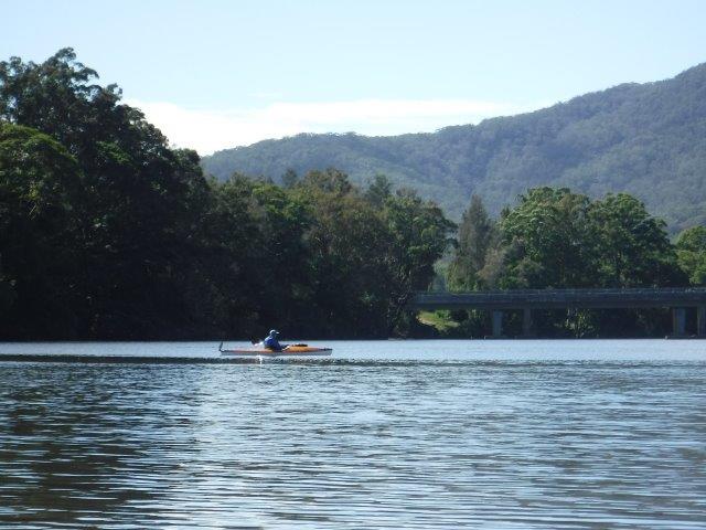
Greg led us on a paddle around Stingray Creek down to Queens Lake. We had good water & not too many tinnies which was a blessing given it was a long weekend. This is a lovely, relaxing paddle and we meandered through side lagoons and along the creek towards the lake and the large inlet just before the lake. Surrounded by hills, this is a protected paddle and feels like a little world all to itself with lovely old mangroves here and there, glimpses of houses through the trees and wading birds in the shallows.
At the launching spot I was interested to see a sign for the Cod Grounds Marine Park. I had not heard of this before and it has an interesting story.


The Cod Grounds Commonwealth Marine Reserve was established in 2007. It is approximately 5.5kms offshore from the Camden Haven, covers four square kms with depths ranging from 21 to 46 metres. It is one of eight parks managed under the Temperate East Marine Parks Network. The primary reason for its establishment was to protect a significant aggregation site for the critically endangered East coast population of the grey nurse shark. It is also a biologically important area for the protected humpback whale, vulnerable white shark and a number of migratory seabirds. In 2017 it’s status changed to a Marine Park and it is wholly zoned as a national park. (Wikipedia) The Stingray Creek bridge has a history too. The original crossing from North Haven to Laurieton was made via a ‘pack-horse’ punt which was pulled across by hand. It was said to have been installed by teamsters who hauled logs from Green Hills ( now Bonny Hills) to Limeburners Creek for transportation by the old log punt to Longworth’s Mill in Laurieton. When disaster struck and the old punt sank, for three years all supplies etc had to be rowed across in a boat to Laurieton. The first bridge was opened officially in 1931. It was  a one way wooden bridge referred to as the Humpty Back bridge. The next bridge, which replaced the Humpty Back bridge, was opened in 1961 followed by the current bridge which came into being in 2017. (Camden Haven Courier).


Thanks Greg for leading this paddle.


Cheers
Caroline

Blog

Yarrahappinni Wetlands


No Comments


Twelve of us enjoyed perfect conditions for our paddle last Sunday in the Yarrahapinni Wetlands which are a part of what is collectively known as the Clybucca Historic Site. In October 2015 a group of eight of us joined over 50 paddlers connected with the Save Our Macleay River organisation on a guided tour by the National Parks & Wildlife of these rehabilitated wetlands. I noticed some real changes on Sunday, particularly with the growth and spread of mangroves and the presence of birdlife.


In an attempt to secure good grazing land, this beautiful, timeless area had was drained in the 1970’s. Instead of good land, acid sulphate soils and ‘black water’ poisoned the land and waters downstream (hence the graveyard of trees). After a long process of negotiation by the Yarrahapini Wetlands Reserve Trust, and later the National Parks & Wildlife Service, tidal re-inundation began in 2008 with the creation of an opening in the levee. The tidal flow of saltwater resulted in an immediate reduction in the acid sulphate soils.


***As many of you are aware, Lake Innes suffered from human intervention also. This lake was originally a separate freshwater system, the largest in NSW. In 1933 a drain was excavated to connect the lake with Cathie Creek. This drain subsequently widened and deepened under flood and tidal flows, causing the lake to convert to an estuarine system. The introduction of saline water and tidal variations resulted in extensive biological changes to the biology of the lake, including loss of most of the fresh water habitat. It is now an established estuarine system (Port Macquarie Hastings Council fact sheet).


The Clybucca Historic Site comprises three separate areas totalling 459 hectares. Adjacent to the wetlands is the Golden Hole, a site of national significance registered on the National Estate. It is also referred to as The Clybucca-Stuarts Point midden complex. (Middens basically consist of domestic refuse such as bone and shells etc). It is the largest estuarine midden in the temperate area of Australia and runs almost continuously for 14 kms. The site was an important meeting and sharing place for the GUMBAYNGGIR and DUNGHUTTI nations, a rich source of food and part of a mythological and spiritual landscape with strong cultural significance to the present day Aboriginal people of the mid north coast (NPWS Plan of Management (Clybucca Historic Site). The natural heritage values of the Clybucca Historic Site include littoral rainforest communities, coastal wetlands and estuarine environments. These are estimated to support 135 species of plants and provide habitat for a diversity of fauna species.
Archaeologists have dated Aboriginal occupation of this site at approx.. 4000 years. Research into sea level changes suggest that at the time the midden was occupied, the entire Macleay floodplain was under water and the sea level was 2m higher. The subsequent fall in sea level created the existing coastline and estuaries.


At least 75% of the midden complex still remains and well over 50%, including most of the largest and best preserved mounds, are within the historic site. These middens were generally not used for limekilns, road base or landfill as were many in Limeburners Creek and the Port Macquarie area. The disturbing of some middens by earthworks, well sinking, road cutting and other damaging actions prompted the NPWS to request an archaeological report which concluded that the site was of archaeological significance; this led to its subsequent reservation. (NPWS Plan of Management).


Stephen led us through the opening in the levee, guarded by a group of pelicans. Care needs to be taken as oyster shell encrusted rocks lie dangerously close to the surface as you go through the levee into the ‘Broad-water’ which is the main area where the regeneration of mangroves and fish habitats is most obvious. The wide bay area is flanked by large trees on the side closest to the Golden Hole and there are lovely views to the distant hills. The most striking features are still the outcrops of dead trees that line the banks and form clusters along the way. It was encouraging to see the growth of the mangroves and I spotted three stag ferns, their green leaves standing out against the dull grey of the dead tree trunks. We saw pelicans, osprey, sea eagles, a brahminy kite, ibis, egrets, white faced heron, ducks and a few species I could not identify. The wetlands were full of life: osprey were ferrying large sticks to refurbish their nest ( see photo with the resident keeping an eye on us), birds were fishing and pelicans were preening. It was so uplifiting to see this beautiful area coming back to life and to share it with club members.


Thanks Greg for leading this trip and Stephen for putting up markers so we did not get lost (which can easily happen in here!!). We meandered around happily for nearly 2 hours being careful to stick together and avoiding dead stumps just below the surface  Bill and Colin enjoyed their longer paddle around Cockle Island and arrived back the same time we did.


Caroline                                   

Blog

Camden Haven River at Kendall


No Comments

 Hi everyone,


Well it was great to get out for a paddle on the lovely water on the Camden Haven River at Kendall last Sunday. Between the flood & its aftermath of floating debris, closed roads and ferries being out I felt like I had not paddled with a group for ages.


Thirteen of us spread across 3 groups enjoyed the sunny conditions, getting back to Kendall before the wind really sprang up (Bill & Colin got some strong gusts while crossing Watson Taylor Lake). Stephen’s group paddled from Kendall to the lake & return, while Bruce’s group paddled to just past the highway bridge & return. After the paddle we had lunch under the verandah of the Kendall boatshed rather than going to the park which sustained damage during the flood.


The Camden Haven is a fascinating area with so much history and the local historical society has compiled some fascinating facts via a timeline for the area. 


On 12 May 1770, Captain Cook sighted three mountains which he called The Three Brothers. Next came John Oxley who crossed the Camden Haven River on 15 October 1818. He named it after Lord Camden, John Jeffreys Pratt, 2nd Earl and First Marquess of Camden, 1759 – 1840. Watson Taylor Lake was named after Camden’s Private Secretary, Watson Taylor. By 1827 soldiers were stationed at Soldiers Point, on the edge of Soldiers Bay on the east side of Watson Taylor Lake. Their purpose was to intercept and escaped convicts from the penal settlement.
In 1883 the Queens Lake punt started and ran until October 1905 ferrying people and goods across to Limeburners Creek and Bob’s Creek. Against strong protests from the local community, the punt was taken by council to run on the Hastings River. (I have included a photo of an old punt that used to run from Camden Haven to Dunbogan). In 1891 the Village of Camden Haven was renamed Kendall after the poet Henry Kendall who lived there for a period of time. In 1893 the first bridge was opened at Rossglen, or Camden Haven Punt as it was known then. It was described as a hand operated, lifting drawbridge. Punts and other river craft had to whistle for the bridge’s operator, a Mr. Teague, to rush to open it. In 1898 a timber bridge over the river at Kendall was built and by 1915 the railway bridge was opened. The north coast railway line runs for a section alongside the Camden Haven River & it always sounds at odds with the tranquil surroundings paddling down towards the bridge to hear it rumbling along through the trees ( see photo).


On 19 February 1920, a German mine was found washed up on the beach south of Point Perpendicular, Camden Haven Head. It is thought to have been laid by the German raider ‘Wolf’ as it passed up the Australian coast dropping mines.


The Camden Haven River starts up on the Great Escarpment & Comboyne Plateau at an elevation of 698m. It flows for 72.4kms through state forests, valleys & through historic townships like Lorne and Kendall. It flows through Watson Taylor Lake and joins with water from Queens Lake and heads to North Haven and Dunbogan, finally entering the ocean at Camden Head.


Thanks to our leaders and we hope you enjoyed your paddle.


Well done to those who took on the 20 kms long paddle: Rosemary, Kevin, Bill V, Bruce & Lynne & Stephen.


Cheers
Caroline

Blog

Killick Creek (estuary) at Crescent Head


No Comments


After the morning fog lifted (I was on the highway at Cooperabung before the sun broke through!), ten of us got to enjoy a gorgeous paddle on a picture perfect Killick Creek (estuary) at Crescent Head.


After being indoors so often due to rain ( which is falling again as I write)it was great to get outdoors. We had a good high tide, which is essential on this paddle, and had no problems ( or portages) at the usual shallow areas. This is such a beautiful little (approx.. 9 kms) paddle, right behind the sand dunes of Crescent Head beach in traditional Dunghutti country.


The often eye catching trees and other vegetation muffle the sound of the nearby surf and the occasional osprey and white bellied sea eagle glide across the creek hunting for prey.


The main feature of the creek to my mind are the fantastic old melaleuca (paperbark) trees. As well as younger trees in their prime, there are some magnificent old trunks, gnarled and twisted with age and exposure to the elements that just ooze character. With their stark white trunks contrasted against the tannin coloured water, even dead trees retain a poignant beauty in death and become features within the landscape of the creek. There are a few that I look for every time we do this paddle and always photograph.


The creek starts off at a bit of a small lagoon with a pretty side creek just to the left full of Mother Nature’s landscaping features. Although it is only short, it is rewarding. The main part of the creek is quite wide and the banks on either side are lined with banksias, casuarinas, melaleucas and assorted smaller trees and shrubs in the understory. As the water was high we explored all the little side inlets which, although choked with fallen tree limbs and branches, are interesting and visually amazing. The last deviation was down the main arm of the creek which goes under the Loftus Rd bridge and ends at a flood/drainage control barrier. 


Killick Creek is described as a small estuary connected to the ocean adjacent to Crescent Head. It is the principal natural waterway through the town. NSW has over 130 estuaries. Collectively they are very important from an ecological, social and economic perspective. They contain diverse ecosystems that form the foundation of the coastal food chain. They are important habitats for marine and land plants and animals.


The way Killick Creek functions is primarily as a result of wave energy. It is classed as a strand plain. This means the estuary would have low sediment trapping efficiency, naturally low turbidity and low risk of habitat loss due to sedimentation (Info from Assessment Framework for Non-Pristine Estuaries – estuary 81 Killick Creek).


Killick Creek serves a major role in the Macleay River Flood Mitigation Scheme. When the floodplains of the Upper Belmore River are inundated, floodwaters discharge into Killick Creek in order to mitigate flood risks and minimize inundation of pasture lands. Flood mitigation works in the 1950’s resulted in the Killick Drain Cutting ( connecting the Upper Belmore and Upper Maria Rivers), a rock training works at the entrance to the estuary along with general widening and deepening of the estuary in some of its upper reaches.


Crescent Head became a favoured surfing spot from the early 1960’s. It became the first stop for surfers travelling along the NSW north coast on their journey north in search of the perfect wave. In June 2008 Crescent Head was declared a National Surfing Reserve, the fourth site in Australia to be thus recognised for its special significance to surfing.


Thanks to those who came along to enjoy this lovely paddle. If you missed it this time, try to pencil it in to your ‘to do/paddle’ list next time it is scheduled.


Cheers
Caroline    

Blog

Herons Creek off Queens Lake


No Comments

Hi everyone,


Well my computer is back on deck after some ‘long service leave’, but has handed in its notice re imminent retirement!!


I am running behind with trip results, but will catch up asap.


We had another lovely paddle on Sunday March 7 on Herons Creek, off Queens Lake. We changed the scheduled paddle from Limeburners & Bobs Creeks due to the poor condition of the road into the Queens Lake Nature Reserve. Herons Creek never disappoints & this day was no exception. With 18 of us, we split into two groups. The first group, led by Bill W included Queensland travellers/visitors Mike, Christine & their paddling pooch Laddie, who hunkered down in the rear hatch of their double. This group paddled to the end of the creek –  16 kms return. The second group, led by Leon, paddled for about an hour or so across the lake and into Herons Creek before retracing their journey to the sailing club & adjourning to North Haven for lunch.


Queens Lake was calm for both crossings and Herons Creek was quiet & picturesque with that lovely sense of remoteness. Flanked on either side by towering trees, we caught glimpses of farms and houses, the vineyard and a few cleared stopping spots that looked fairly recent. It is a relaxing paddle with varied vegetation, rocky outcrops, vines, ferns, eye catching white tree trunks, reflections and vistas.


This area is the traditional land of the Birpai people. By 1822 the first Europeans in the Camden Haven area were soldiers guarding the southern entrance to Port Macquarie. By 1827 the area had been surveyed as part of a grant to the Australian Agricultural Company and by 1856 cedar was being exported through Camden Haven. Laurieton was originally known as the Village of Camden Haven. In 1872 Joseph Laurie and his two brothers moved to the area from Taree. He owned the rights to timber in the area and a timber mill ( near where the Fish Co-Op stands today ). In 1875 he became the first post master. By 1914 a new post office was built in Laurie Street and was called Laurieton by the Post Master General. In 1946 the official name change from the Village of Camden Haven to Laurieton was formalized. 


Other points of interest include  film producer Baz Luhrmann who was raised in Herons Creek township and attended school in Port Macquarie. In 1944 American entertainer Bob Hope was forced to land in the Camden Haven Inlet when his seaplane ( a Catalina Flying Boat ) experienced difficulties when returning from Guam. He and other entertainers had been touring the Pacific entertaining US troops serving in WW2. Hope and members of the group put on a show for the locals who had helped to dig the plane out of the sand spit The area is presided over by beautiful DOORAGAN (North Brother Mountain) and on a clear day the view over the Camden Haven district and its waterways is spectacular.


Thanks Leon and Bill for leading.


Cheers
Caroline